epirus net
Αξιοθέατα, δραστηριότητες, ξενοδοχεία,
ξενώνες & ενοικιαζόμενα δωμάτια στην Ήπειρο.
ξενώνες & ενοικιαζόμενα δωμάτια στην Ήπειρο.
The bridge of Plaka
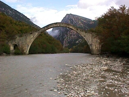
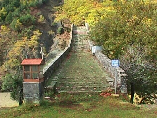
The impetuous Arachthos river, the ancient Inachos was the big obstacle for the transfer of the habitants and the big flocks of the shepherds of the region of Tzoumerka. Many people and animals died in the impetuous river of Arachthos, to the point where flows from its steep gorge, at the location of Plaka in Raftanaioi.
Former attempts for the construction of the bridge failed.
In 1863, on the day of the inauguration of the bridge, it fell into the river-bed of Arachthos. Later, the builder Kostas Mpekas from Pramanta took over its construction and to build it according to his plan. With many fundraisings there were gathered about 187.000 turkish coins and in 1866 te bridge was finally built, an arch bridge of 40 m. length and 20 m. altitude. It is the biggest arch bridge in Epirus. On its edges has also two smaller arches, of 6 m. length. ΕIt is an excellent piece of art, and many admired it and still admire it.
Beside the bridge there is the old Inn, whre during the civil war it was signed the “Treaty of Plaka“, among the resistance grous od E.D.E.S. and E.L.A.S. so at cease the warfares among them.
The whole transport is done now by a new-constructed bridge, just a little further by the old one, leaving it alone and isolated, but always proud.
The bridge was demolished on February the 1st. in 2015 because of the strong weather effects and the strong rain that stroke the wider area of Epirus. Since then have become many attempts for its reconstruction by the prencict of Epirus with the contribution of the ministry of Culture.
The bridge of Konitsa
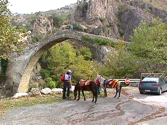
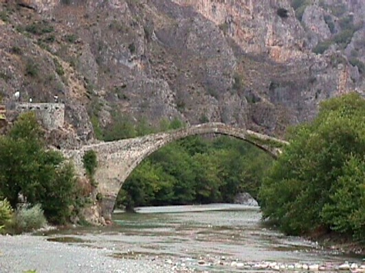
Near Konitsa, at the exit of Aoos river, is located the arch stone-built bridge which is one of the biggest bridges in Greece. It has an altitude of 20 metres and length 40 metres. It was built in 1870 by the builder Ziogas Frontzos from Pyrsogianni and with the financement of the banker I. Loulis from Katsanochoria.
Its construction ended in 1871 and cost about 120.000 turkish coins. The former wooden constructions of 1823 and after were drifted by the river. It is remarkable the faxct that its builder Ziogas Frontzos was an illiterate and simple craftsman.
This bridge is indeed a work of art and beauty, excellent constructed and incomprarable to the other tradiotional bridges of the same period. The bridges was recontrructed in 1913 because Tzavit Passas destroyed it when he left the region.
Its bell which hung under its arch, so as to warn the passengers when the string wind blew (it was like a warning bell), was lost during the old years and was replaced by another one in 1975. Under the bridge and at its rights side, there is a beautiful path leading to the monastery of Stomio.
The bridge of Tyria
Near the village of Seniko and above the water of the river of Tyria that springs by the mountain of Olytsika there is the stone bridge of Tyria. It has two arches, and the altitude of the highest one is about 10 metres and the length of its arch is 14 metres. The smaller one arch has length of 2.5 metres. The year of its construction is still unknown.
The bridge of Voidomatis
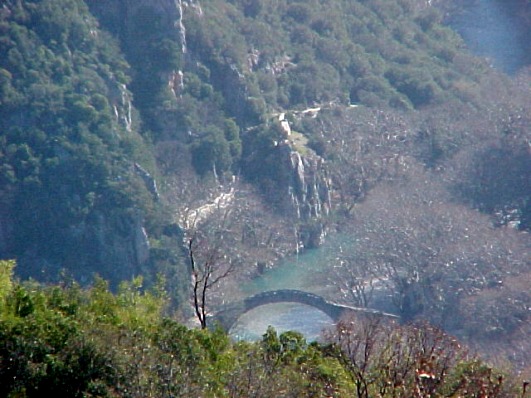
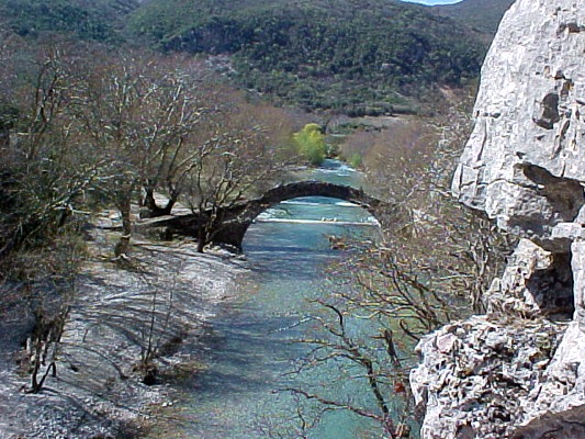
The bridge of Voidomatis is located near the village of Kleidonia in the region of Konitsa, where the tributary of Aoos, Voidomatis, flows into the wild and whole green Vikos gorge to the plain of Konitsa.
By the old time the people tried to build the bridge but they failed. Finally, in 1853 was built the beautiful arch stone bridge by Misios.
Under the bridge and at its left side there is a stoned path leading to the gorge of Vikos. You can also see the bridge and Voidomatis by canoying.
The bridge of Noutsos or Kokkoris
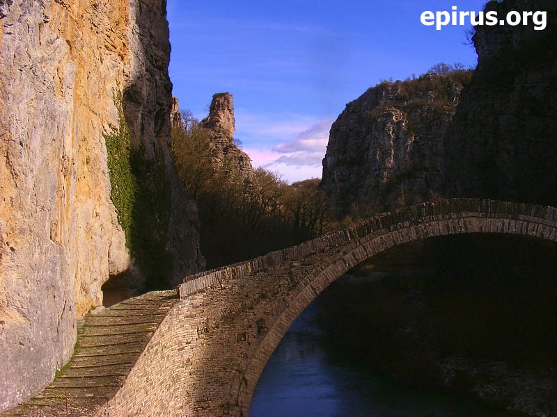
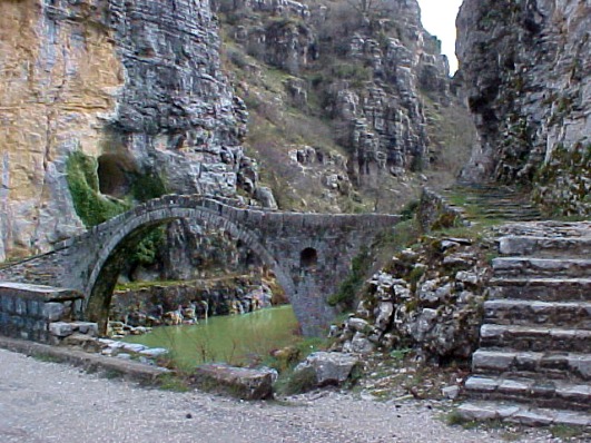
The bridge of Noutsos (or Kokkoris as it is also famous) is located at central Zagori, near the village of Koukouli, at a distannce of 39 km. from Ioannina, at the river of Voidomatis. Noutsos Kontodimos from Vradeto financed the construction of the bridge, which took its name by its benefactor. The sign on a black stone writes on the year of 1750 or 1752 (Lampridis also mentions Moutsos Karamersinis as its constructor in 1768).
It is also famous as the bridge of Kokkoris (or Kokkoros) because, Kokkoros from Koukouli, who had a mill there, disposed in 1910 his money for its reconstruction. Recently, the bridge has been reconstructed once again by the members of the Assocciation of Zagori.
Next to the bridge there is the cave where captain Ntavelis hid with two other footpads. ΑFrom a careless wooden bridge near the bridge of Kokkoris passe the women of Pindos ladened with ammunition and other supplies during the Second World War.
Theogefyro bridge in Kalamas
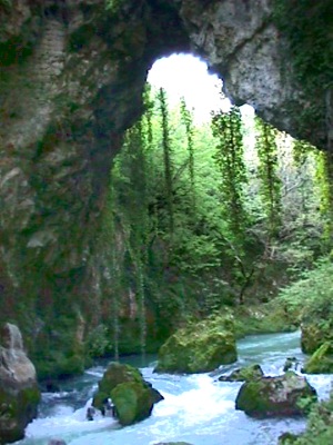
After the village of Zitsa, close to the village of Lithino, Kalamas river made a miraculous place. It sculped with its wild water the rock and created the natral made bridge of “Theogefyro” which for centuries made easy the passage of the river for the people. The crossing of the river was not allowed anywhere else becaus of its water. This bridge was inspired Chrysanthi Zitsaia, who in 1956 wrote and publish the book “The legend of Theogefyro”.
Video form “Theogefyro” natural bridge
The bridge of Katogefyro
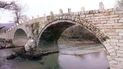
The bridge of Katogefyro is located under the village of Oraiokastro in Pogoni. It is a small stone bridge that has two unequal arches that bridge the banks of Gormos river. Its constuction dates back to 1889 and is preserved at an excellent situation until today.
Agnanta
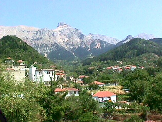
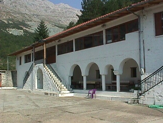
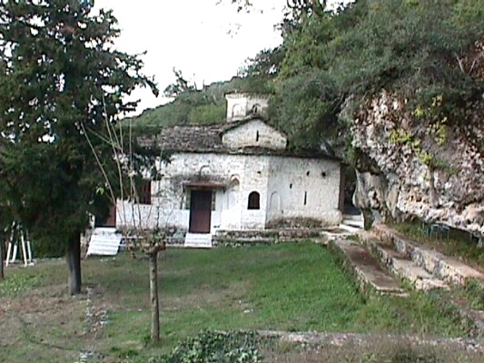
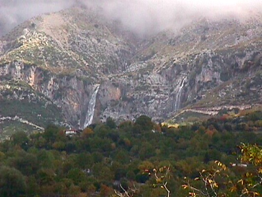
The village of Agnanta is located at the north part of the prefecture of Arta and is at a distance of 87 km. from the city of Arta. It is a beautiful village built at the west side of Tzoumerka into o forest of fir trees with plenty water. It is the seat of the municipality. At the region of Agnanta there are also the high tops pf Tzoumerka. The region if famous fow itsa natural beauty and here is developed the mountainous tourism.
Sights in the region:
- In Agnanta: Church of Virgin Mary, watermill, the bridge of Plaka
- In Katarraktis: Monastery of St. Aikaterini, waterfalls
- In Graikiko (Gourgiana): Monastery of Chrysospiliotissa
- In Lepiana: Church of Ipapanti
- In Koukoulia: Ancient walls
- In Ramia: Hill of Avarikos, Arachthos river (location of Kounies)
- In Ktistades: Folk Art Museum
Visit also in the nearby village of Pramanta the cave of Anemotrypa.
Ammotopos
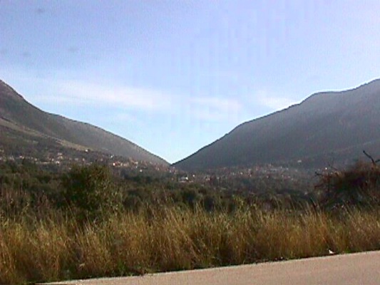
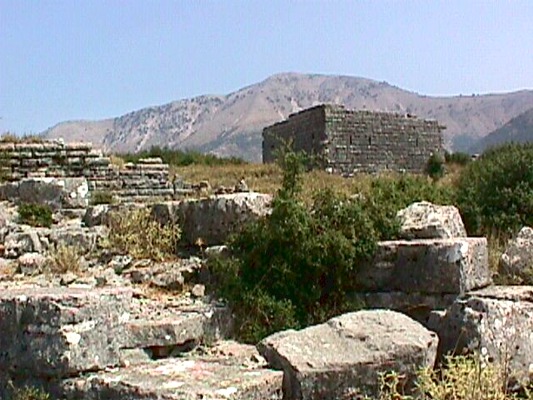
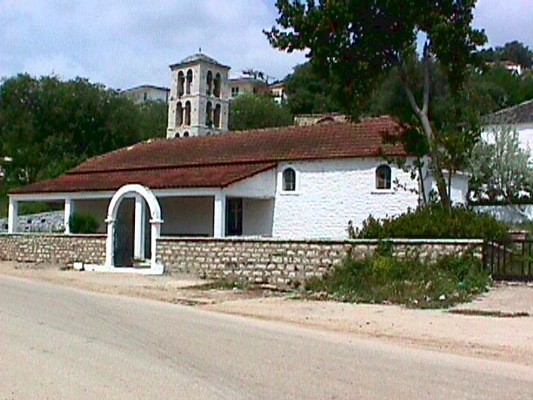
Ammotopos is a rural village of farmers and shepherds built among the mountains of Gkogkomylos and Tsouka. It is the seat of the Municipality of Ksirovouni and is northwest to the city of Arta, at a distance of 10 km.
Sights:
- Near Ammotopos: Archaeological site of Orraon
- Near Ammotopos: Church of St. Paraskevi of Ampelia in the caves of Dragonhole, of the 5th century
- In Zeros of Filippiada: Monastery of Basilica of Pantanassa. It is a ruined ex royal monastery of Micahel B’.’
- In Ksirovouni: Monastery of Faneromeni
- In the village of Kampi: Byzantine churches, church of the Prophet Elias, church of St. Aikaterini, church of the Dormition of Virgin Mary, church of St. Nicolas
Ammouda – Splantza
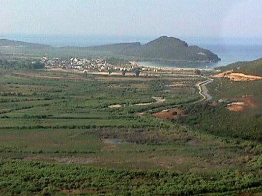
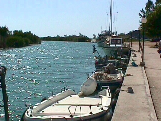
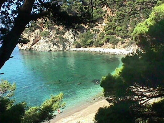
It is a beautiful seaside settlement that is located at the estuary of Acheron river. It has an excellent tourist infrastructure with hotels, fish taverns, etc. From this beautiful side of the prefecture of Preveza, according to the tradition Odysseus following Acheron river and after Acherousia lake arrived to the ancient colony of Mikines, Ephyra, and the famous Necromancy.
In Odyssey of Homer, the witch Kirki advices Odysseus to go to Hades to meet the soul of the seer Teiresias so as to return to Ithaca. So, he came here, to the municipality of Kimmerioi, crossed the forest of Persephone (of high elms and willows) and he found a rock with a cave at the meeting point of Kokytos with Pyriflegethonta and Acheron river.
The description of the descent of Oddyseus to Hades and the founds of the excavation, seem to show the same data according to the archaeologist S. Dakaris, professor in University of Ioannina. Hermes led the souls to Hades following the same route.
Very close to the archaeological site and the region of today’s village of Mesopotamos there is the amazing beach of Ammoudia, where flows into the river of Acheron. Also, in the region of Fanari there are many siginificant villages and sights.
Ano Kalentini – Diasello
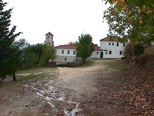
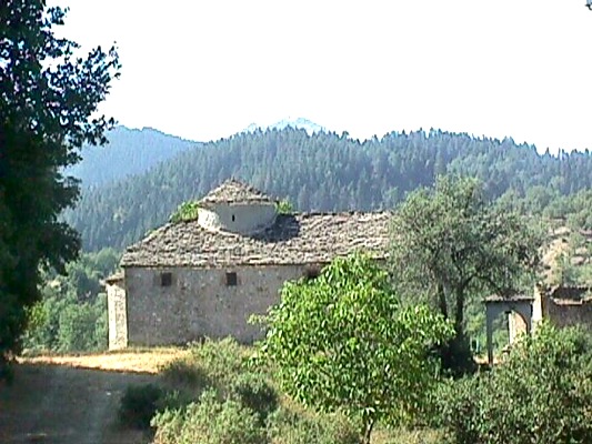
Sights in the region:
- In Ano Kalentini: Monastery of Melates, three traditional small bridges
- In Velentsiko: Post-byzantine monastery of Rovelista and red church
- In Skoulikaria: Post-byzantine holy monastery of Virgin Mary, where G. Karaiskakis was born in 1780
Arta
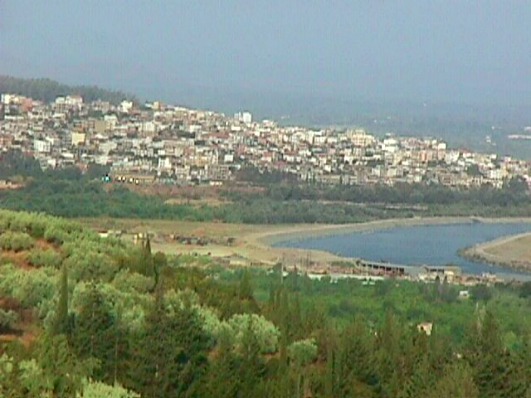
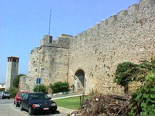
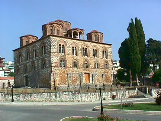
The city of Arta is the capital city of the homonymous prefecture. It is at a distance of 360 km. from Athens and 15 km. from Amvrakikos Bay. It has a population of 40.000 habitants. It is built on the ruins of the ancient Amvrakia. The river of Arachthos with its historical bridge surrounds it by its three sides. The seven hills of the city are surrounded by olive groves and orange trees and by a rich mainland.
It has a long history, over 3.000 years. In 625 B.C. the Korinthioi sent away the native Dryopes from Amvrakia and built walls. In 295 B.C. the Macedonians gave it as a gift to the king of Epirus Pyrros, who brought here the capital city of its state. In this period of time the city was full of significant pieces of art and monuments: buildings, status, temples, paintings and many other works of art. The Romans conquered it in 189 B.C. and after that they plundered it and in 31 B.C. they transfered its population to the ancient Nicopolis.
After the destruction of Nicopolis, Arta was rebuilt in the location of today. In 1204 became the capital city of the Despotate of Epirus and was decorated with artistic Byzantine and post-byzantine churches and monasteries by the emperor Michael A’ Doukas Komninagelos.
It became the most important cultural centre of Epirus and was characterised as the “Mistras of northern Greece”. The byzantine castle of Komninoi which was built on the ruins of the walls of Amvrakia, is one of the most beautiful byzantine castles.
In 1449 Arta was given in Turks and was liberated on 24/6/1881. During the Ottoman period its habitants contributed to the fights for freedom. It was distinguished in the literature and army: Maximos Graikos, Nicolaos Skoufas, Georgios Karaiskakis, etc. During the period of Second World War (1941 – ’44) its habitants offered a lot to the greek army. It was the hometown of the general N. Zervas, commander of the national reistance.
In the city they were saved many monuments, ancient and byzantine, from the era of ancient Amvrakia and the Despotate of Epirus. Many founds were discovered by the excavations throughout the years.
In the city of Arta there are many clubs and assocciations: Skoufas Club, Makrygiannis Club and other cultural assocciations.
In Arta it worths visiting:
- The monastery of Parigoritissa
- The historical museum of Skoufas
- The Folk Art Museum of Skoufas
- The offices of Skoufas Club
- The metropolis of Arta
- The building of Zorba
- The castle of Komnimoi
- The archaelogical theatre of Amvrakia
- The churches of St. Theodora, of St. Vasileios
- The historical bridge of the city, etc.
Vourgareli or Drosopigi
|
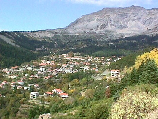
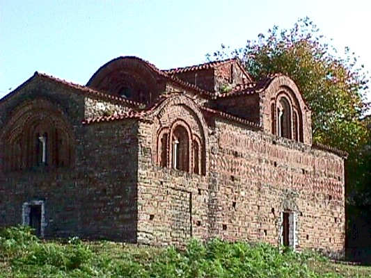
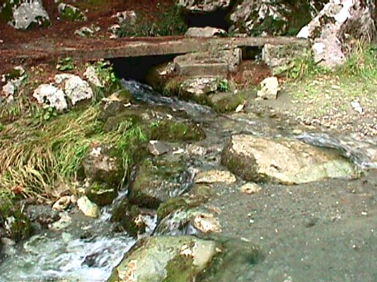
Vourgareli (Drosopigi), is located at the historical state of Athamanoi, into a beautiful forest with plenty water. It is a mountainous village, located at a distance of 60 km. northeast to Arta and is built at an altitude of 800 metres, on the mountain of Tzoumerka. It has also the name Drosopigi.
The houses of the village are traditionally stone-builtt, but also modern. Every summer the village has many tourists, because it is a significant tourist resort and has very good tourist infrastructure.
The habitants are hospitable, with a long history to the battles of our nation and to religious tradition. Near the village, at the location of Palaiochori of Vourgareli, there is the Red Church (church of Virgin Mary of Vella) of the 13th century. The church was built in 1281 by the emperor Nikiforos A’ and is an excellent sample of the byzantine architecture.
There is also the historical byzantine monastery of St. George which is one of the most important sights of Tzoumerka. In this monastery there are wall paintings from the 1714. Here waved the flag of the revolution of the 1821 from the leaders of the region.
Sights in the village & the around area:
- Fountain of “Archonto”
- Byzantine red church
- Monastery of St. George
- Traditional settlement of Selio
- Spring of Leptokaria
- The two arch bridges
Vovousa
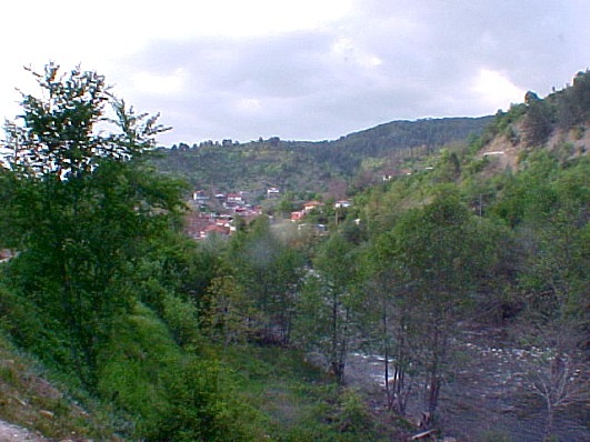
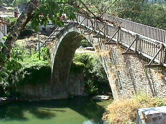
Vovousa the last millenium included five settlemements, Agios Dimitrios, Baitani, Plaka, Agia Paraskevi and Tsiaka which were merged into one. It is a settlement that is located on the bounds of the region of the central part of the National Gorge of Pindos. The village developed a lot when Zagori won its autonomy, during the Ottoman period. During the cencus of 1871 Vovousa had about 2500 habitants.
Later because of the insecurity from the invasions of the Albans, many families had emigrated and from 1824 to 1831 the region had no habitants. The region was inhabited agai after its liberation (1913). In 1943 it was destroyed by the Germans and only the church of St. George was saved. Nowadays, its habitants occupy mostly with logging and stock – farming.
The two settlements of the village are connected with the arch stone bridge which was built in 1748 by Alexis Misios and is one of the most beautiful that there are in the region.
From the sights of the region:
- Church of St. George of Vovousa (1814)
- The bridge of Vovousa (1748)
Delvinaki and the nearby villages
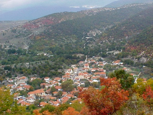
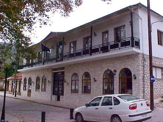
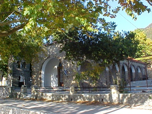
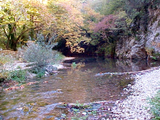
Delvinaki is at a distance of 70 km. from the city of Ioannina. It is the seat of the municipality of Delvianki and has about 2.900 habitants. They are at their majority farmers and shepherds because the region is mostly rural. Delvinaki is built into a forested area, among oak trees, chestnut trees, arbutus trees, plane trees, etc.
Delvinaki was a commercial and cultural centre because of its location but also of the emigration of its habitants who succeded professionally at abroad and cared for thei hometown, as it happened to many other places of Epirus. Gradually the alive region of Delvinaki was desolated by numbers of emigrants who abandoned the region during the decades of 1920 and 1930, but also during the decade of 1950 and after.
Nowadays Delvinaki is a picturesque village that has preserved its natural beauty. Every year more and more visitors discover the beauty of its natural landascape and the hospitality of the habitants of Pogoni but also a region that has remained unchanged by the tourists and is offered for unique moments and trips.
A unique musical phenomenon for the region of Pogoni, but also for Greece generally, is the tradition of the polyphonic song, which according the musicians its roots are very old. The habitants of Delvinaki love the polyphonic song, have choirs and every year organise events for the polyphonic music with large audience and participatios. On the first days of August is organised at the municipality of Delvinaki the International Festival of Polyphonic Song.
Delvinaki has a librabry – gallery and many significant churches that you can visit. The nearby valley of Gormos river is offered for beautiful walks.
For your stay at Delvinaki, there are many traditional guesthouses and rental rooms, but also many restaurants and taverns, where you can taste traditional dishes of Epirus.
Igoumenitsa
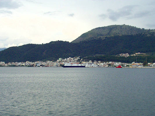
Igoumenitsa is a nice coastal city and capital city of the prefecture of Thesprotia with 7.000 habitants. It is at distance of 480 km. from Athens and 470 km. from Thessaloniki. Its huge port is fully protected and it is an intechange of connection with other ports of Greece as well as of Adriatic. It is an important seagate for the country, to Europe.
Igoumenitsa is connected with the rest Greece and not only, through Preveza and Ioannina. It is a transportation centre and is developing continuously. It will be more developed after the completion of Egnatia Highway, the road that connectes Epirus with Thrace, based on the ancient Egnatia Highway of the Romans.
Igoumenitsa owes its name, according to the tradition, to an abbot of a monastery of the region. Thucydides names its port “Erimos port”. During the Fisrt Balkan War Igoumenitsa was liberated by the Turks (1913).
Until the year of 1936, when became the capital city of the prefecture of Thesprotia, Igoumenitsa was a little seaside village. In 1944 it was totally destroyed by the German army that left the country and it was rebuilt. At the decade of 1960 the port was constructed and connected to Italy by boat. This was the motivation power for the development of the city.
The beauty of the city, the combination of the mountain and the sea excite every visitor of the region. The large beaches of Drepano and Makrygialos, of 7 km. length, are a place of relaxation for the habitants and the tourists at their crystal clear water.
Theodoriana
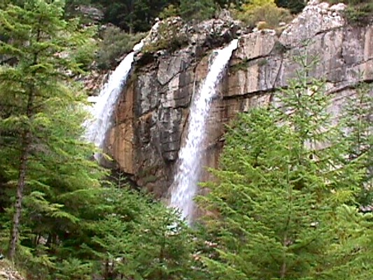
The community of Theodoriana is at a distance of 81 km. northeast to the city Arta, among the tops of Tzoumerka, on the foothill of the famous Kostilata. It is a beautiful mountainous village built at an altitude of 940 metres, among fir trees and plane trees with a lot of water and breathtaking waterfalls..
Sights in Theodoriana:
- Waterfalls in the little river of Aspri Gkoura
- Byzantine church in the monastery of the Birth of Virgin Mary
- Kostilata
- Old Watermill
- Stone bridgeι
- Underground schoolΚρυφό σχολειό
- Mountain lodge
For more information:
Community of Theodoriana in Arta
Τel.+30 26850.22447
Ioannina
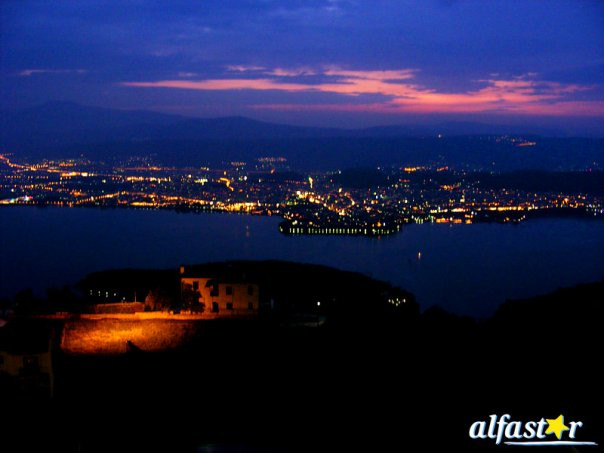
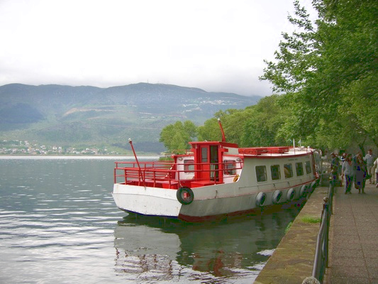
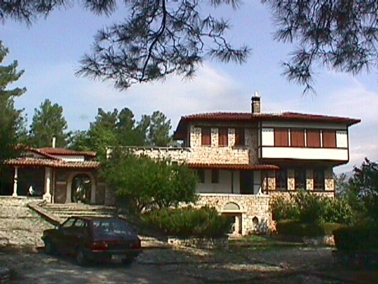
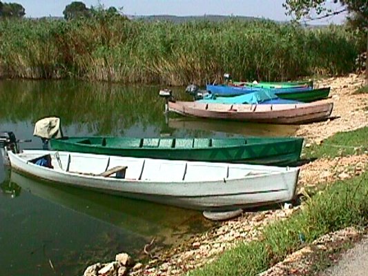
Ioannina is built at an altitude of 470 m., at the western bank of the picturesque lake of Pamvotis. It is the capital city of the homonymous prefecture, but also of the whole province of Epirus. It is an important city and one of the biggest cities of the country.
The name of the city probably comes from the monastery of St. Ioannis the Vaptist. Historians claim that the establishment of the city became by the Emperor Ioustinianos, who built a fortress near Pamvotis lake. In 1082 the city was conquered by the Normad Voimoundos.
In the 1204 with the establishment of the Despotate of Epirus the city was developed a lot ecomically and it was an important cultural centre. Many benefits were given to its habitants. The last despot Karolos B’ Tokkos under the pressure and the threat od Sinan Passa abandoned the city in 1430. The habitants surrendered to avoid the battles and their benefits were continued during the Ottoman period with a peak moment the period of Ali Passia.
At the period of Ali Passia the city developed a lot to every sector and it was one of the most important European cities. There were many schools at that period where many teachers and scholars taughts, such as: Methodios Anthrakitis, Neofytos Doukas, Ioannis Vilaras, Athanasios Psalidas, etc.
Today the city of Ioannina is a modern city with european characteristics, which is full of life and is famous for the entertainment and the nightlife that offers. The history and the tradition are obvious to every ccorner. The old city and the castle remind different periods, where dominate memories of its Byzantine past and but also of mondern history and is an alive memorial place.
The city has two big hospitals, one of which is the university hospital and university. Ioannina has also a large number of night clubs, bars, restaurants, theatres, cinemas, etc. For your stay you will also find many hotels and rental rooms.
The visitors will have the chance to taste the traditional sweets of Ioannina and the delicious traditional cuisine, of which main dishes re pies but also others traditional delicacies.
The region is also famous for its silver art and jewellery that are produced here for many centuries with the same traditional ways.
It worths visiting in the city:
- The picturesque castle with the two citadels which is populated and nowadays
- The picturesque lake of Pamvotis
- The clock in the central square of the 1905
- The Folk Art Museum and the Gallery
- The Tourist kiosk and the theatre
- The Archaeological museum
- The Byzantine museum
- The museum “Arms of the War” of Fotis Rapakousis, in the Castle
- The Folk Art Museum in Aslan mosque
- The old fortress “Litharitsia”
- The Library of Zosimaia
- The City hall
- The park of Pyrsinella, an important green park to the city
- The municipal Gallery
- The Mansion of Misions of the 1844
- The Metropolitan church of St. Athanasios
- The churches of St. Aikaterini of the 1771, St. Marina, Archmandreio, St. Nicolas of the Market which was renovated in 1837, the church of Perivleptos of the 1839, the church of St. Nicolas of Kopani and the new-built church of St. Georgios in the centre of the city
- The holy school of the mosque of Veli
Kalpaki and the nearby villages
|
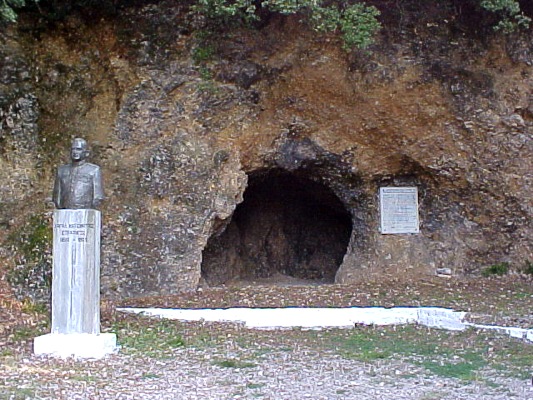
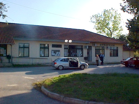
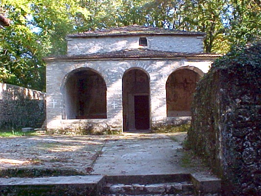
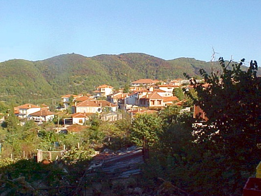
Kalpaki is at a distance of 30 km. from the city of Ioannina, on the national road of Ioannina – Kozani. Its name has been connected to the famous historical “NO” in 1940. Its habitants are mostly farmers and shepherds. It is the seat of the homonymous municipality.
In the region there were ancient cities of Molossoi, which were destroyed in 167 B.C. by the Roman (cities of Evrymenes, Elaia, Stymvara, Fotiki – the fortified byzantine state of Vella later}.
Sights in Kalpaki:
- The War Museum
- The monastery of Vella
- The cave of the headquarters of the VIII Division during the war of 1940
- The springs of Vella
Near Kalpaki, there is the village of Doliana, a significant village if the region of Pogoni. Doliana is built on a hill with a panoramic view to the valley of Ano Kalamas. It is located at a distance of 4 km. from Kalpaki, on the road to Kakavia.
Doliana is a picturesque village with traditional stone-built mansions, picturesque street and a well – preserved watermill that show that Doliana was an important centre of economy and culture during the past.
Doliana was the hometown of Georgios Gennadios, a big master of the Greek culture and civilisation. Near Doliana there is also the monastery of St. Iakovos at the location of Opas, built on the 12th century and it was an important centre of hagiography with important byzantine mosaics.
In Doliana there is a library and it is also the seat of the Metropolis of Dryinopoupolis – Pogoniani – Konitsa. Every October in Doliana takes place a “Tsipouro feast”.
kefalovryso and the nearby villages
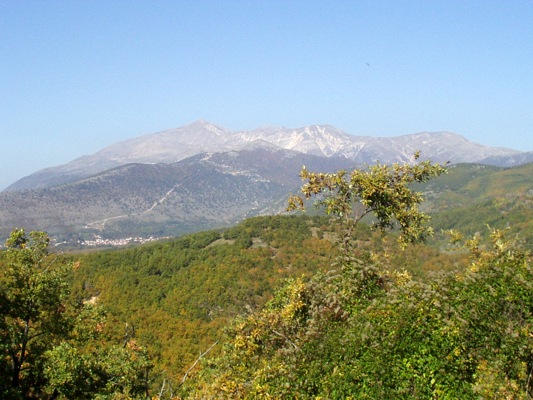
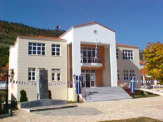
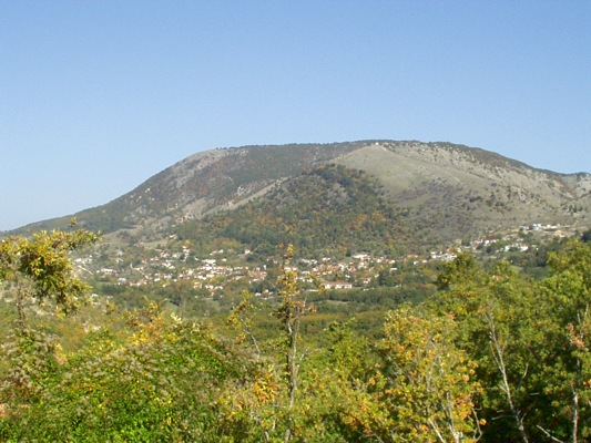
Kefalovryso is a village of the region of Pogoni, built at an altitude of 650 metres. It is the seat of the Municipality of Ano Pogoni. It is also an important financial centre for the region of Pogoni because there is one factory of the 5 factories of the Greek Industry of Arms.
Other villages of the region:
The village of Vissani in Pogoni is built at an altitude of 750 metres and is at a distance of 8 k. from Delvinaki. The village was founded during the 14th century, developed a lot and during the Ottoman period it was the cultural centre of the region of Pogoni.
In Vissani there was a school before 1770 and here learnt how to read first Ali Passia. About the name origins there are many different aspects. The main one is that it comes from the word “Vissa” which means “pots of many successive trees”, something that is obvious due to the location of the village.
Vissani was very developed, which is obvious due to the beautiful stone-built houses, the girls’ school, the greek school and the big church of St. Nicolas of the 18th century. Near Vissani there is also the famous Monastery of Avel.
In Kato Meropi there is a folk art collection at the old primary school and at the location of Glava there were found prehistorical squared tombs. The nearby Monastery of St. Ioannins the Baptist (1614), the church of St. Athanasios (1585) and the church of the Dormition of Virgin Mary (1413) have been characterised as hitorical preserved monuments. [Please see also: Churches in Kato Meropi.]
In the village of Palaiopyrgos in Pogoni there were found at the location of Paliouria archaelogical founds from the prehistorical era. Near the village, there is also the stone bridge Gkretsi in the narrow gorge of Gormos and a traditional watermill, which has been characterised as a preserved monument.
Konitsa
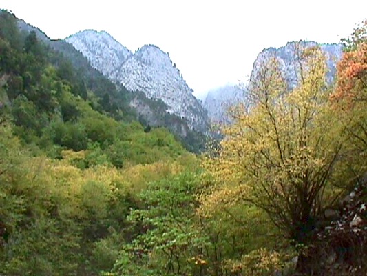
In the national road that leads from Ioanninna to Kozani, at a distance of 64 km. at the north among imposing mountain is built the town of Konitsa. It is located on the slope of the mountain Gymnadi and at an altitude of 630 metres. On its north extends the valley of Sarantoporos, on its east the valley of Aoos and on the south the plain of Konitsa and Kleidonia.
In the plain of Konitsa meet the rivers of Sarantoporos, Aoos and Voidomatis. The region is bounded by the mountainous bulks of Grammos on the north, Smolikas on the east, Gkamila on the south and Memertsika and Kamenik on the west. Plains, mountains, rivers, gorges and rich vegetation cover the region, creating a unique landscape. The exceptional ecosystem of the region is protected by the National Gorge of Vikos – Aoos and is offered for many activities of ecotourism.
About the origins of the name “Konitsa” there are many aspects through the years. The historian P. Aravantinos believes that comes from the change of the name Knossos (Knossos – Konissos – Konissa – Konitsa) an ancient city of Epirus that it was built at the location of Konitsa. For the name of the ancient city the researchers haven’t still made any coclusions. However, excavations showed that the ancient city was really existing and it was an important power state during the ancient times.
The traveller Poukevil thinks that the name “Konitsa” has slavic origins and comes from the word “konitza”, which means the land of horses. There is also a myth, according to it is believed that the lord Koni gave its name to the region. It is said also that he built the castle, the ruins of it are on the church of St. Varvara.
Konitsa was always the administrative centre of the around area. During the Ottoman period Konitsa was an important trading centre and the local turkish aristocracy was very powerfull. This is obvious by the various impressive turkish monuments, which are saved till today. Konitsa was also the hometown of many and important benefactors.
Konitsa was liberated by the Turks on February 24th in 1913. During the period of 1940 – ’41 suffered a lot of devastation by the Italian conquerors. Nowadays it is a developing region of Epirus, seat of the homonymous municipality but also of the metropolis of Dryinoupoleos.
Sights in Konitsa:
- The gorge of river Aoos with its famous bridge of Konitsa
- Tha National Gorge of Vikos – Aoos
- The monastery of Stomio in the gorge of river Aoos
- The church of St. Apostoles from the 17th century
- The litlle church of St. George Neomartyras (it has 120 icons of hagiographers from Chionades)
- The Folk Art Museum
- The library
- The farming school of Anagnostopoulos
- The mosque of Sultan Souleiman, of the 16th century
- The mansion of Chamko, Ali Passia’s mother
- The red monastery of Virgin Mary, a byzantine church of the 1412
Koboti
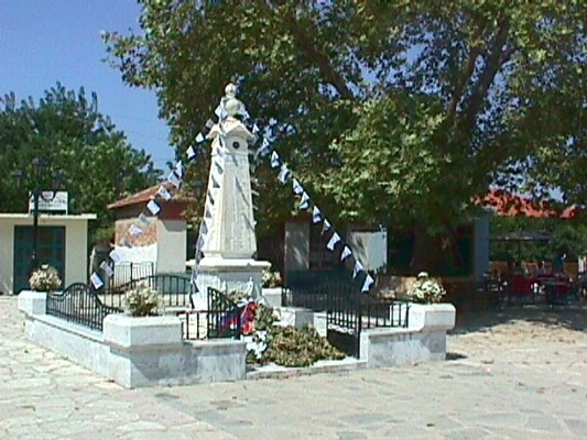
Koboti is located at the southeast part of the prefecture of Arta and at a distrance of 12 km. from the city of Arta. It is built into an olive grove and its houses are beautiful, traditional and stone-built. It is the seat of the municipality of Koboti. It is also the hometown of the founder of Filiki Eteria, Nicolaos Skoufas, and the member of it K. Gerostathis.
Sights in Koboti:
- Church of St. George. In the yard of the church there is a common grave of E. and K. Gerostathis. Among the heirlooms of the church there is an embroidery epitaph of the 1647
- Statue of Skoufas, at the central square
- Monument of G. Karaiskaki, at the square of Kapitanos
- Church of St. Nicolas where there were graved the bodies of the Greek and Philellines during the battle of Peta against the Turks
- Fortress of the 1832 at the location of Platy
- In Sellades: Monastery of the Dormition of Virgin Mary
- The village of Kommeno: In the wider area there is the historical village that it was destroyed by the German army during the Second World War.
Koronisia
Koronisia is located at the region of Amvrakikos bay and is the seat of the municipality of Amvrakikos. It is at a distance of 26 km. southeast to the city of Arta. It is a coastal village which is located at a picturesque small island. The island meets the mainland through a narrow long passage. In its beautiful taverns you can taste the fresh fish dishes.
Sights in Koronisia:
- Byzantine Church of the Birth of Virgin Mary (church of Virgin Mary of Koronisia). It is a sample of byzantine culture and it is saved only the small church, which is the oldest one of Arta in the byzantine period (1193)
- Little church of St. Onoufrios, in the yard of the byzantine church of the Birth of Virgin Mary
Sights in the village of Vigla:
- Post-byzantine monastery of Virgin Mary of Rodia
Paramythia
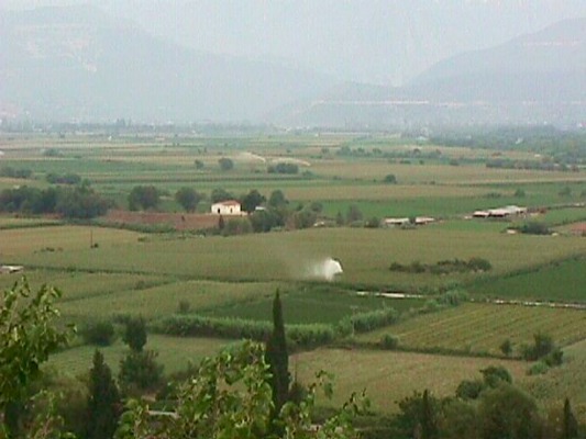
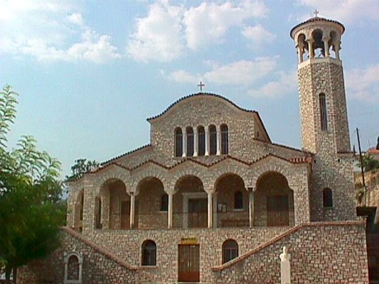
The region of Paramythia is located at the southeast edge of the prefecture of Thesprotia. It is a at a distance of 82 km. from Ioannina and 35 km. from Igoumenitsa and its port. The town is amphitheatrically built on the foothill of mountain Koryla (altitude 1658 m.). On its southern part there is the fertile plain of Paramythia, which starts from the village of Neochori and ends up in Acheron river.
In the heart of the town flows the small and known from mythology river of Kokytos, which according to the myth was shaped by the relatives’ tears of the dead people who were guided to Hades by Charon with his boat. There are many aspects for the origins of the name. but the main one is that is comes from the word Parigoritria (from the homonymous monastery of Virgin Mary that is was located in Paramythia), “Paramytheia” in ancient greek language. Above the town, the castle of St. Donatos stands imposing in a natural fortress. It took its name by the homonymous temple that there was in the castle and it was dedicated to Donatos, the bishop of Evria (4th century A.D.), who was the protector of the castle and the wider area generally.
The first settlement in the region dates back to the Bronge Age (2.500 – 11th century B.C.) at the prehistorical location “Sardakia”, at the proximate location that is built nowadays the town of Paramythia.. Paramythia was an important commercial centre at the age of the Despotate of Epirus as long as at the Ottoman period. For the increasing of the little number of the Ottoman popuation, the Turks tried to make Islams the local population. Especially after the unsuccessful revolution by Dionysios the Philosopher, Metropolitan of Trikki, (known as “Skylosopher”) in 1611, and until the decline and fall of Souli in 1803, the Christian habitants of Paramythia were kicked out with rage.
The town, that was developed a lot until that moment, it was attacked by Ali Passia who sent away many Islam prominents who cooperated with Souliotes and executed many Christian persons. The Islam habitants of the town, who had turned to Islamic religion in their majority, spoke the Greek language, had almost the same customs and traditions with the Christian ones and knew a little about their religion. Besides many of them believed in Christian Religion in secret way. However, many churches of the region were turned into mosques.
Only the byzantine church of Virgin Mary of Paramythia has been saved. Paramythia was liberated by the Turks on February 23rd in 1913, two days after the liberation of the city of Ioannina. Despite the fact that the Christian habitants of Pramythia never created problems to the Islam habitants, the last ones cooperated with the German against the Greek during the period of the Second World War. The local people resisted with all their powers, but the price cost too much, 49 men were executed bu the German army.
Nowadays the town is full of life and traffic. Its location and the fertile flatland is the main reason for its development. It has a lot of tourist infrastucture, state services, bank, etc. Egnatia Highway which crosses the region unites it with the rest mainland of Greece and will contribute to the additional development of the region.
Sights in the town of Paramythia:
- The ruins of the ancient city of Fotiki that are located at the top of the town, at the location of Liboti
- The ruins of the medieval castle, at the settlement of Koryla
- The archaeological collection
- The byzantine church of Virgin Mary of Paramythia
- The Byzantine Baths
- Koulia
- The Venetian clock (that worked with hair and sinkers)
- The historical record of the town
Sights in the wider area:
- In Psaka: Cave of Psaka
- In Petousi: Church of St. Taxiarches
- In Prodromi: Monastery of St. Vellenis
- In Kamini: Monastery of St. Dimitrios
- In Plakoti: Monastery of Jesus Christ, a rare old church
- In Pente Ekklisies: Monastery of Virgin Mary “Ousntina”
- In Kallithea: Monastery of Paganioi of the 1652
Margariti
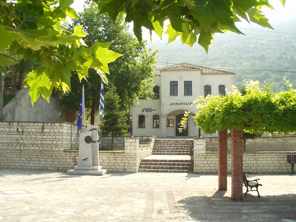
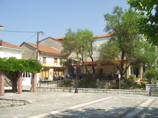
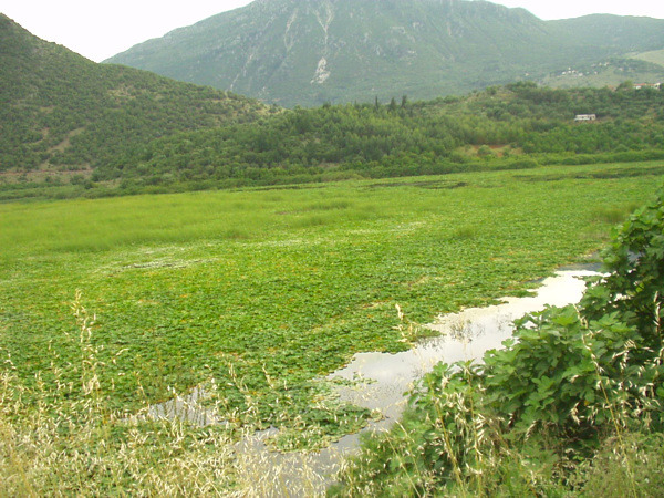
Margariti is a traditional settlement that it was built in 1438 by the Venetian at thee locations of the ancient city “Panaos”. It is located on the national road of Igoumenitsa – Preveza, at the 32nd km. and is the seat of the homonymous municipality of Margariti. In 1549 the Turks built here the castle which was destroyed by the Venetian.
The settlement was detroyed by the Turks during the revolution of 1733 and it was finally liberated by the Greek army on February 24th in 1913. It is the centre of many archaelogical sites of the region. Near Margariti is located the swamp of Kalodiki, a wetland of large exntend.
Sights in Margariti:
- The castle of Margariti
- The fountain of Banos
- The small Canyon
- The swamp of Kalodiki with the lilies
- The traditional settlement “Skala”, where there are fortresses, an old fountain and desolate mansiosn, etc.
- The mosque in the castle
- Tombs of the ancient city Panaos
- The mosque of the Fountain of Aga
- The well of the market
Near Margariti is located the village of Glyki: It is about a traditional settlement at a distance of 54 km. from the city of Igoumenitsa. In the region of Glyki is located the beautiful gorge of Acheron river and its springs.
Sights in Glyki
- The church of Virgin Mary
- Ancient squared Tombs
- The gorge of Acheron river with the Skala of Tzavelaina
Also in the region of Gardiki you can see:
- The church of St. Kiriaki
- The citadel of Agios Donatos, with ruins of the walls from the 4th century B.C.
Melissourgoi
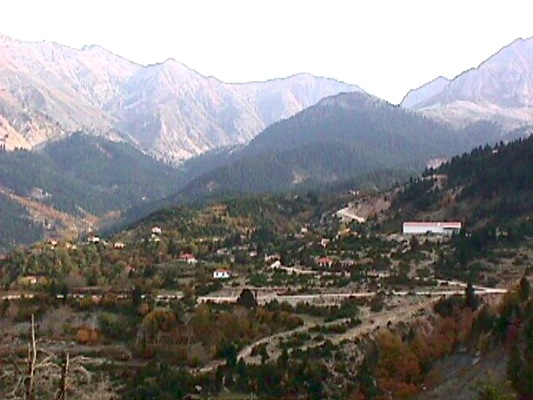
The community of Melissourgoi is located at the northeast part of the prefecture of Arta, after the villages of Agnanta and Pramanta, at an altitude of 860 m. It is at a distance of 103 km. from the city of Arta. The big forest of fir trees in the location of Aetos, the springs with the cold water and the waterfalls above the village make it an ideal destination for vacation.
Sights in Melissourgoi:
- Waterfalls
- Church of the Dormition of Virgin Mary
- Forest of Aetos
- Springs
Metsovo and the nearby villages
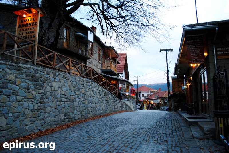
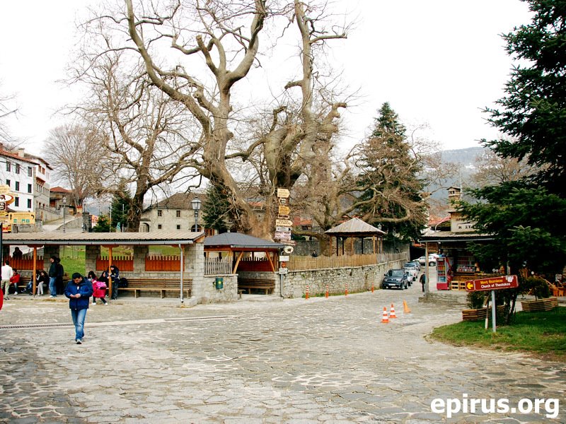
The picturesque Metsovo is located at distance of 57 km. from Ioannina and it is built on the slopes of Pindos Mt. It has a popoulation of 6.000 people and has all the necessary services and infrastructure. It is a popoular destination with a big tourist interest, especially during the winter months because it is a famous destination for winter vacation.
Metsovo has preserved its traditional colour and it is famous for its local traditional products, such as wood curving products, hand-woven textile products, silverware products, but also the famous cheese “Metsovone” and many other dairy products.
Significant is also the loyal continuation of the customs of the regiob, the rich music tradition and the language (vlach language). It is worth noting that the elder mostly of the region continue till today to get dressed in the traditional cotumes of the region. Metsovo is also famous for the local cuisine that includes dishes such ask: kontosouvli, pies, dairy products etc. From Metsovo came from many great men, but also many great benefactors such as G. Averof, M. and Th. Tositsas and N. Stournaras etc.
A brief historical retrospect
In the region of Metsovo haven’t been found any pre-historical founds that could give us clues about the settlement. The historians agree that the region was an important commercial pasage bfore 4 or 5 centuries, and a place for the supplies of the caravans. In 2.000 B.C. about according to the historical sources is mentioned the appearance of greek pastoral races. It seems that the region of Metsovo was an ideal pasture land for the shepherds from the ancient times. The habitants of Metsovo have nowadays large properties from the animal breeding.
Historical mentions to Metsovo appear during the 14th century. The name “Metsovo” appears for the first time to the chronicle of Brothers Filanthropinoi Komnimos and Proklos in 1380.
For the name origins there are two versions:
- According to the first aspect is considers that the name has slav origins (mets+ovo = the village of bears)
- Though according to the other aspect is considered that the name comes from the coalescence of two greek words middle + mountain, beacause of its location among two mountains.
Metsovo was initially a settlement of shepherds. However, th privilege that had during the Ottoman period contributed to the dvelopment of art, trade and literature. These benefits were given to the habitants by the sultan Mourat B’ when the guards from Metsovo, who guarded the passage of Zigos made easier the crossing for the army of Sinan Passa, who directed to Ioannina.
The sultan Mehmet D renewed these benefits, which included also the establishment of a semi-autonomous federation with the nearby villages of Anilio, Malakasi, Milia, Palia Koutsoufliani (Platanistos) Votonosi and Anthochori. In 1795 Ali Passia banned all these benefits, except for those that were given by the patriarchal Exarchia and they were preserved till 1924. On March 27th in 1854 Metsovo was totally destucted by the army of Avdi Passa, a fact known as “destruction of Grivas”. After the desturction many habitants emigrated, but they never forgot their homeland and gave many donations for the mansions of Metsovo, fountains, schools, churches, folk art museum, gallery, etc.
Metsovo was finally liberated from the Ottoman State on October 31st in 1912 by the general forces of Greek Army, and volunteers from Crete and Epirus.
Sights in Metsovo:
- The Folk Arta Museum that there is in the mansion of Tositsas family
- Evagelos Averof gallery, with paintings of the 19th and 20th century
- The church of St. Paraskevi from the 1511 with its magnificent wooden iconostasis
- The monastery of St. Nicolas
- The monastery of Virgin Mary in Metsovo
- The traditional fountains
- The Watermill of Gkina, an the banks of Arachthos river
- The Garden of Averof, a park of big extent where you can find all the species of trees of the region of Pindos (one of the best parks in the country)
- The church of St. Charalampos, where Kosmas the Aitolian talked to the habitants of Metsovo
Sights in the other villages of the region:
- In Anilio: Church of St. Paraskevi, new ski centre at the location of Zigos
- In Anthochori: Monastery of Kokkini Petra from the 17th century, watermill, mount Lakmos at an altitude of 2300 m.
- In Chrysovitsa: Byzantine Church of the Dormition of Virgin Mary from the 1486
- In Mikri Gotista: An old settlement of Molossoi at the castle of Gradetsi
- In Megalo Peristeri: Monastery of Megouli from the 1588
Neochori
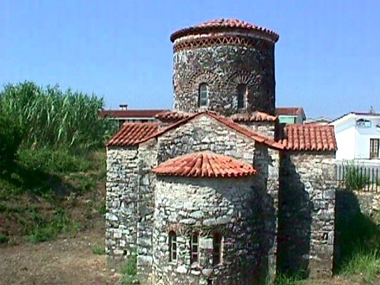
Neochori is located at a distance of 13,5 km. southeast to Arta and is built at a lowland. It is the seat of the Municipality of Arachthos. Near the village flows the river of Arachthos which after a route of 5 km. flows into the bay of Amvrakikos. The region is full of cultivation. Throughout this region there are many historical churches.
Sights in the region:
- The stone-built bridge of Arachthos, known as “the Bridge of Arta”
- The church of St. Vasileios of Arachthos, near the bridge, from the 15th century
- The church of St. Taxiarches, near the bridge of Arachthos
- In Akropotamia: Post-byzantine church of the Dormition of Virgin Mary
- In Agia Paraskevi: The belltower of the church of St. Paraskevi
- The village of Peranthi (3 km. northeast from Neochori)
- The lagoon of Palaiobouka
- In Glykorizo: Post-byzantine church of St. George
- In the village of Kopraina (an old picturesque port): Museum of Fishing and natural history (it has: library, exhibition hall, guesthouse and projection room), musuem of Lighthouses at the Navy Lighthouse of Kopraina, monastery of Zoodochos Pigi
- In Salaora: The research centre of Salaora (television broadcasting of the fauna of Tsoukali)
Parga
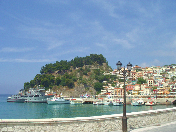
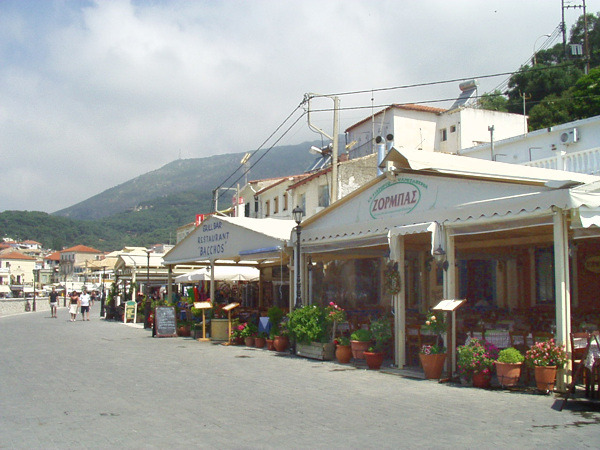
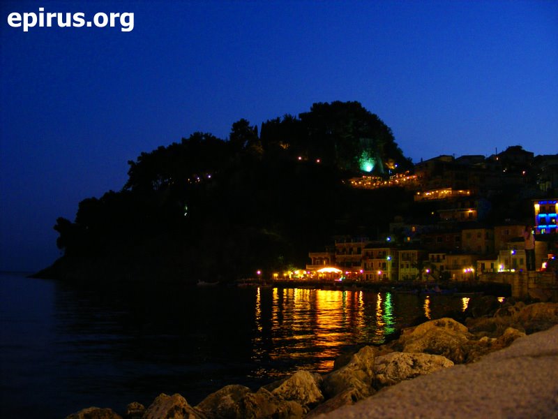
Parga is located at a distance of 68 km. northwest to Preveza and 50 km. southeast to Igoumenitsa. It belongs to the prefecture of Preveza which id located in Epirus. The city of Parga is amphitheatrically built and is one of the most beautiful summer resorts of this country. Many picturesque streets lead to the castle, to its shops, restaurants, but also to its many bars and night clubs that there are in the city.
The whole picture of Parga with its picturesque bay, the beautiful little island of Virgin Mary and the taverns create a majestic atmosphere. This picture complete the exceptional beaches of the region: Kryoneri, Valtos, Lichnos, Sarakiniko, Ai – Giannakis. These beaches are fully organised and are oferred for many water sports.
Every summer many tourists visit Parga, as it has now an excellent touristic infrastructurs with many hotels, rental rooms, camping, restaurants, bars, cafes and night clubs that leave the best impressions to every visitor.
Though the history of Parga is also impressive:
According to the tradition its habitants have been settled there from the settlement of Palioparga to Petzovolio, the opposite mountain, after a sign of Virgin Mary. It is said that her icon “left” all the time the settlement of Palioparga and the habitants have always found it on the hill that nowadays there is the castle of Parga.
But also many arcaelogical items that were found into the settlement and the nearby region show that people lived here from the neolithic period. In 1337 the new settlement around the castle appears for the first time in byzantine documents.
From the 15th century till the end of the 18th century Parga is an autonomous regions, under the protection of the Venetians. Because of its location and the prosperity of its habitants, it was target for many conquerors, but also it was target of the famous pirate Chairentin Barbarossa.
In 1797 is conquered by the French and after by the British, that will give in to Ali Passia. Because of the help that it was offered by its habitants to the besieged Souliotes, they suffered the retaliations of Ali Passia and they were forced to abandon Parga.
On April 15th in 1819, the day of Holy Frida, the habitants of Parga burnt their dead people and left for Corfu. Ali Passia was forced to bring the Turks and Greek from Epirus to stay in the devasteted city. ΟThe native people of Parga turned back to their place after the February of 1913, when Parga was liberatedn by the Turks along with the rest part of Epirus.
Perdika
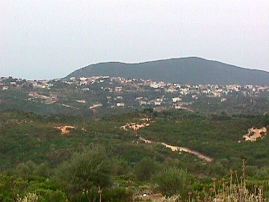
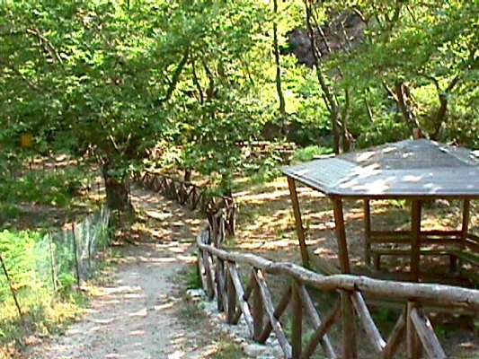
Perdika is a big village of the prefecture of Thesprotia, with very interesting history and a rare natural landscape. It is located between Parga and Syvota and accross Paxos and Corfu. The community of Perdika includes the settlements of Perdika and Arrilas (old citadel).
In the costal zone, and near the beach of Karavostasi, you can see the river with its centenarian plane trees, the citadel of Dymokastro (two same castles), which was a colony of the ancient Korinthioi. Dymokastro is the ancient city of Elina. Recently in this region have become excavations, which are continued at the present.
The settlement of Arrilas has a beautiful big beach, one of the most beautiful in Greece with crystal clear water and golden sand. This settlement got its name by the Roman general Arrilas who died in this water and his grave is in Dymokastro.
Sights:
- The ancient city of Elina (Dymokastro)
- The natural park of Perdika, at the region of Somati
- The Folk Art Museum of Perdika
- Ai – Thanasis
- The beaches of Karavostasi, Arillas and Agia Paraskevi, some of the most beautiful beaches of Epirus
Preveza
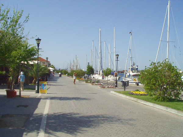
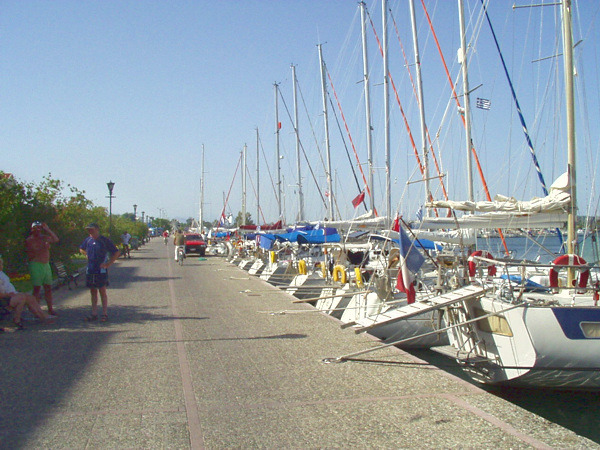
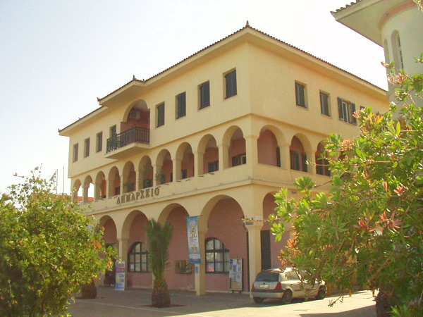
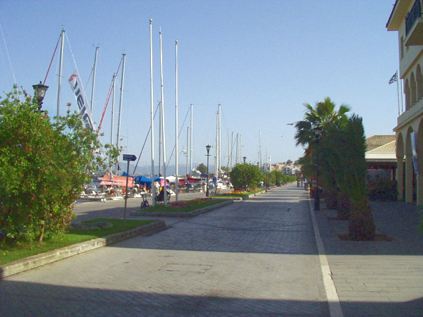
Preveza is located at the place of the ancient city of Vereniki, which was built by Pyrros, the king of Epirus, in 290 B.C. The name of Preveza appears for first time in the book “Timeline of Moreos” in 1292. It was created in the end of the 11th century after the desolation of Nikopolis. Throurghout its history has known many conquerors.
In 1490 it was conquered by the Venetians and in 1699 it was capitulated by the Turks.. In 1797 it was conqured by the French and one year after by Ali Passia of Ioannina. It was liberated on October 21st in 1912 and merged into the Greek state.
The city is built on the edge of Amvrakikos bay accross Aktio and near to the ancient Nikopolis. The city has its own special colour, reminding an island. It is the administrative, commercial and cultural centre of the prefecture of Preveza.
At its port there are many traditional buildings and in its centre there are in its narrow streets many picturesque taverns and traditional cafes. ΕPreveza is a modern city with all comforts and with a rapid and increasing touristic development.
The cultural and the artistic tense is very intense and many conferences and exhibitions take place here every year. In this city has also lived Karyotakis, greek poet. On August, every year, is organised by the municiplaity the famous “fest of sardine” but also many other events.
Pogoniani and the nearby villages
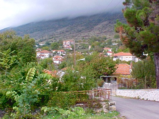
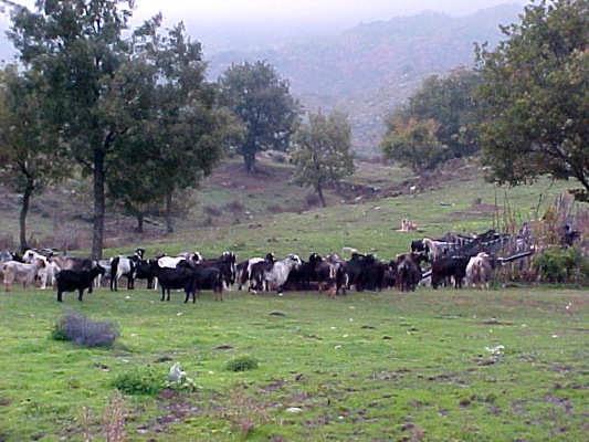
Pogoniani is located at the northwest part of the region of Pogoni at an altitude of 750 metres, near Delvinaki. During the Ottoman period it was the adminitrative centre of the part of Avlona of the Ottoman Empire and and the seat of the bishopric till 1863.
Pogoniani was an important commercial centre during the past years which is obvious to the old buildings and to the centre of the community that once it was an impotant trading centre of more than 60 shops. ΣIn Pogoniani nowadays there are boarding schools and educational institutions for the homogeneous people of North Epirus that they were built by donations.
In Pogoniani worths visiting:
- The interesting Folk Art Museum of Pogoni – Deropoli
- The church of big dimensions of St. Nicolas (1873) with its exceptional wooden iconostasis
- The thick forests of the area around, which attract many hunters but also many lovers of nature.
Other villages in the region:
Dolo is a traditional village of Pogoni. Nearby the viilage there is the famous gorge of Kouvaras, into which runs the homonymous river. You can cross it by following the marked path.
At the beggining of the gorge, at the location of Ksylogefiro, there is a watermill and a small stone-built bridge, known as the “bridge of Nonoulo”.
Significant is also the church of St. Nicolas that is located at the village. It has a big hall and incorporated belltower of two zones at its south side. The older wall paintings of the church are creations of the painter Kouros from Dolo.
Kakkolakos village is located at the foothill of the mountain of Nemertsika at the north part of the region of Pogoni. It was the capital city of Pogoni during the Ottoman period.
Here it was also the administrative centre of Markos Botsaris from Souli from 1814 to 1820. The family of Botsaris funded the construction of the wooden iconostasis of the church of St. Dimitrios.
Sagiada
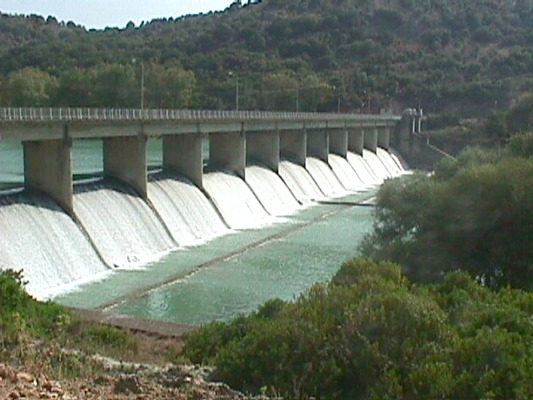
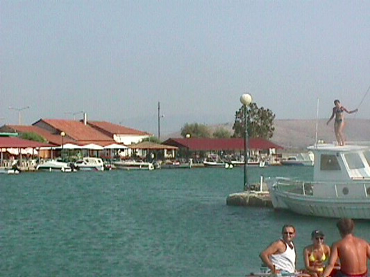
Sagiada is a beuatiful village of fishermen located at a distnce of 17 km. from Igoumenitsa and 38 km. from Filiates. In the past years, during the period of the Ottoman Empire it was the most important port of Epirus. In this region was located the French Consulate on the 17th century. In this port also took place the meeting between Napoleon the Great and Ali Passia. Near Sagiada there is the ruined village of Liopsi, an old setllement of Sagiada.
Sights in the region of Sagiada:
- The dam of Kalamas river
- The old bridge of Kalamas river
- The ancient town of Titani
- The ancient town of Elea
- The ancient Kestrini, ancient country of Chaones
- The ancient Toroni, on the mouth of Kalamas river (former Peraia of Corfu)
- The wetland at delta area of Kalamas river
Other villages in the region of Filiates:
- Foiniki [see also: Folk Arta Museum in Foiniki]
- Lia of Filiates (hometown of the writer N. Gkatzogiannis)
- Vavouri
- Tsamantas [see also: Folk Art Musuem of Tsamantas and Church of the Dormition of Virgin Mary of Tsamantas]
- Κεραμίτσα: Αναγνωρίστηκε ως «πρότυπο ανάπτυξης, προστασίας περιβάλλοντος και ποιότητας ζωής των κατοίκων», στις σαράντα πρώτες παγκόσμιες διακρίσεις στη διάσκεψη HABITAT II.
Souli
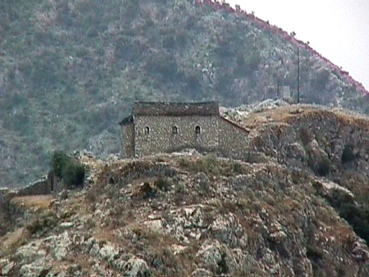
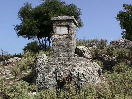
It is about a mountainous region that was the inaccessible fortress for the Turks during the revolution of 1821. In this place lived the warriors who showed discipline to their leaders, their confidence, their courage and their free spirit, the warriors who were praised by the folk music and songs.
The families of Tzavellas, Botsaris, Zervas, the monk Samouil: names connected to the fights against the Turks in legendary Souli.
Built between the mountains of Mourga, Zavrocho and Troulia was a shelter for people after the destruction by Romeo Aimilio Pavlos. At the beggining included only the villages of Souli, Avariko, Kiafa and Samoniva, known as Tetrachori.
Later it was renamed as Eptachori (on its big prime it led about 80 villages) and in the middle of the 18th century it had a population of 6.000 and 1.700 of them were armed.
It was the target of the Ottoman Empire and Ali Passia who conquered finally on December 15th in 1803, after long and many military campaigns and fights. It was conquered after the explosion of Kougki by the monk Samouil.
Sights in the region of Souli:
- The ruined stone-built houses
- The ancient wells
- The castle of Kiafa, built by Ali Passia
- The Headquarter
- The legendary Kougki, with the church of St. Paraskevi (holocaust 15/12/1803 – monk Samouil)
- The historical watermills of Souli
- The Folk Art Museum
- The church of St. Dimitrios in Tsagkari with a stone belltower
- The church of St. Kiriaki, in Avlotopos
- The bridge at the location of Dala of Acheron river
Events in the region:
Every year, the last Sunday of May take place in Souli events in the memory of its fighters, the sacrifice of the women on the mountains of Zalogo but also in honour of the explosion of Kougki.
Syvota of Thesprotia
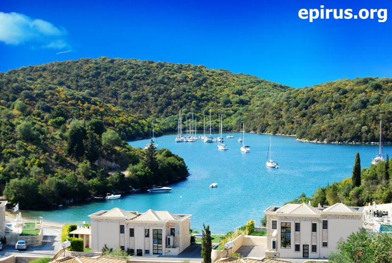
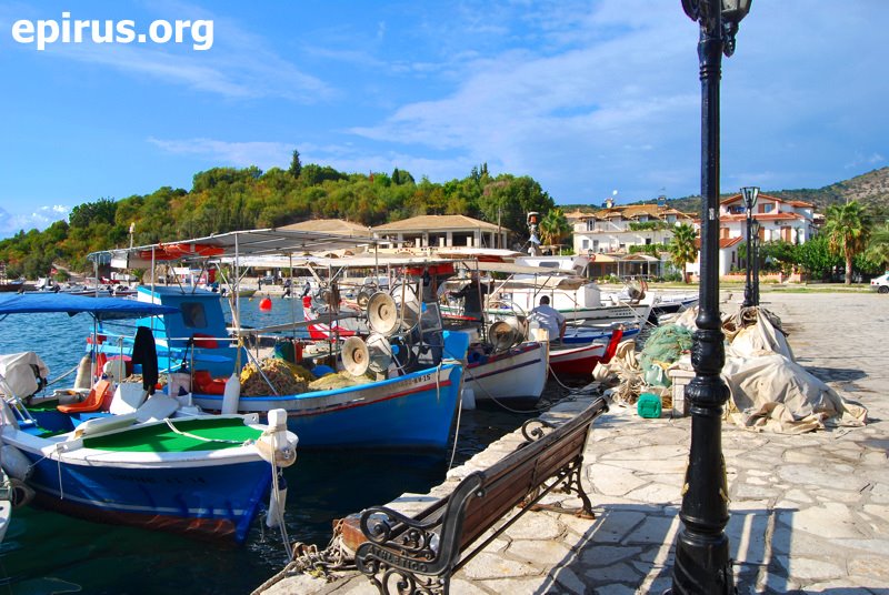
Syvota of Thesprotia is a picturesque village on the coasts of Ionian Sea. It is located just half an hour from Igoumenitsa (capital city of the prefecture of Thesprotia where it belongs) and is the most famous resort of the region.
Syvota is built in a magnificent landscape: green hills around a majestic gulf, little isalnds that remind the norwegia fjords, crystal clear waters and clean beaches justify absolutely the fact that Syvota is place of attractions for thousands of tourists every year from Greece and abroad.
Syvota is known from the ancient times, as the historical research connects the little islands at the gulf of Syvota with those that Thucydides refers calls as “Syvota islands“, between of them took place in 433 B.C. a battleship between Korinthiois and the habitants of Corfu during the Peloponessian War.
Syvota from a rural village that is was till recently, has become the last few years an important summer resort. The beautiful beaches Mega Ammos, Mikri Ammos, Bella Vraka etc., the fully organised harbour and the excellent tourist infrastructure attract many local and foreigh tourists.
Syvota offers many choices of entertainment to the visitors, such as diving, sailing, trips to Paxos, Parga and to the nearby villages. It is truly a gifted region by the nature that impresses every visitor.
Tetrafyllia
|
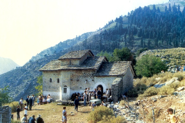 Monastery of Seltso
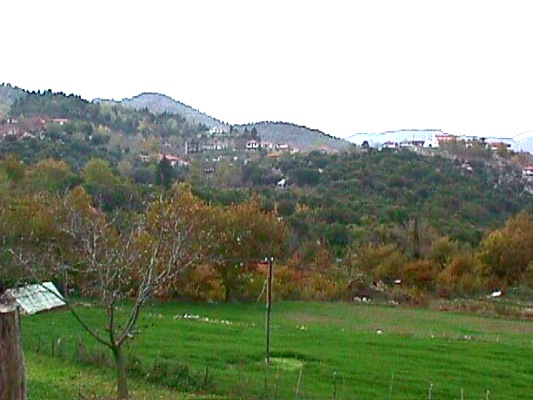
Asprochori is located at the east part of the prefecture of Arta. Its distance from the capital city of the prefecture, Arta, is at 52 km. It is the seat of the Municipality of Tetrafyllia. In the wider area you will have the chance to see many sights of the mountainous part of Arta.
Sights in the region:
- Asprochori: Church of St. Varvara of the 1860, mountainous shelter at the top of Aetos and majestic forests in the region
- In Kastania: Cave of Koudounopetra at the location of Plagia in Alogovrysi
- In Megalochari: Post – byzantine monastery of Botsis from the 17th century
- In Mesopyrgos: Church of the Dormition of Virgin Mary of the 1781 with exceptional wall paintings
- In Piges: Historical monastery of Seltso from the 1697 (historical exit of Souliotes 1803 – 1804)
Filiates
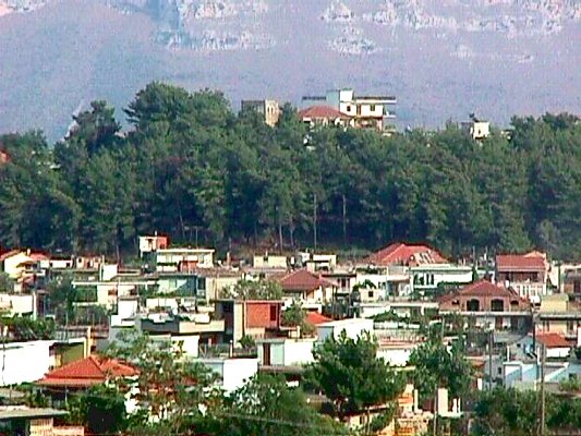
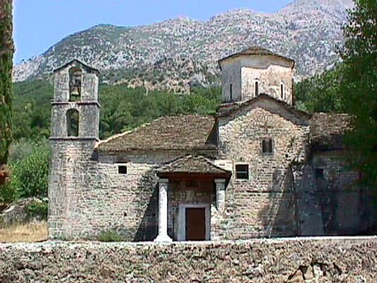
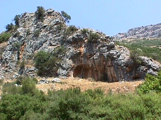
The town of Filiates is built on a forest of pine trees. It is located at a distance of 20 km. from Igoumenitsa and its final border reaches to Sagiada. It is a municipality and is the capital city of the province of Filiates having a cultural centre and a hospital. It is the commercial centre of the region. Near the town flows Kalamas river.
Interesting in the region is its mountainous villages, with their old houses built by stone and covered by plaques according to the architecture of Epirus.
Sights in the region of Filiates:
- Sagiada, a picturesque village of fishermen of the region
- The monastery of Virgin Mary of Giromeri of the 1285, in Giromeri
- The monastery of St. George in Kamitzani
- The monastery of St. Minas of the 1882 in Kokkino Lithari, built onto a rock
- The church of St. George in Faneromeni
- The church of the Dormition of Virgin Mary of the 1847, in Tsamantas
- The monastery of St. Athanasios in Vavouri
- The church of Metamorphosis of Jesus Christ in Foiniki
- The Folk Art Museum of Tsamantas, in Tsamantas
- The Folk Art Museum of Foiniki, in Foiniki
- The cave of Sideris in Filiates
- “Askitario”
- The castle of Doliani in Parapotamos – www.parapotamos.gr
- The ancient Toroni (Peraia of Corfu)
- The ancient site of Fanoti, in Geroplatanos
Filippiada
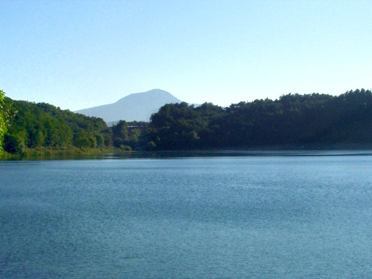
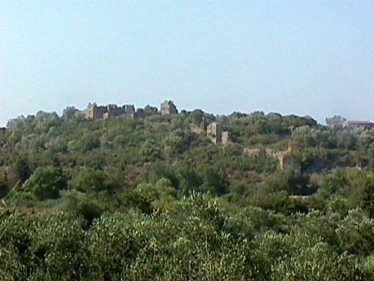
Filippiada is a beautiful town of the prefecture of Preveza built on a hub point between the prefectures of Preveza, Arta and Ioannina. Filippiada is identifies to the ancient city Charadros, which was developed during the 7th and 8th century B.C. and the ruins of it are located in Kastri.
Filippiada owes its name to the love of its habitants for the horses. Filippiada is also famous for the large number of storks that accepts every year. The habitants tried to create the ideal conditions for the living of the storks and so the storks come to Filippiada every year and stay the whole summer in this town. The storks are now the symbol of Filippiada.
The town has literally a fertile plain. That’ s the reason why its habitatnts occupy with farming and stock-breeding. Especially, the last few years have been created in the region big units of stock-breeding products processing and animal breeding units, pushing the local economy and the development in the wider area.
In Filippiada worths visiting the significant churhes of St. Athanasios and St. Varvara that date back to the 18th. century. The beautiful forest that surrounds the town and the magnificent lake of Zeros, which is located nearby, will leave you the most beautiful impressions from Filippiada.
Sights in Filippiada:
- Church of St. Vissarionas, with a beautiful stone belltower
- Church of St. Athanasios, of the 8th century
- Church of the Dormition of Virgin Mary
- Church of St. Varvara, of the 18th century
- Memorial of the battles of Bizani (battles of Gkribovo [1897] and Pente Pigadia [1912])
Sights in the wider area:
- In Romia: Monastery of St. Ioannis the Baptist of Riganas, from which is only saved the temple
- In Petra: Church of St. Kiriaki, Castle of Rogoi at the location of the ancient Voucheti (colony of Ileioi). In the castle is also saved the temple of the monastery of Virgin Mary of Rogoi.
- In Nea Kerasounta: Monastery of the Prohet Elias, but these days is not open to the people.
Filothei – Vlacherna – Peta
See in the region:
- The village of Filothei: It is a beautiful village with beautiful streets and significan byzantine churches.
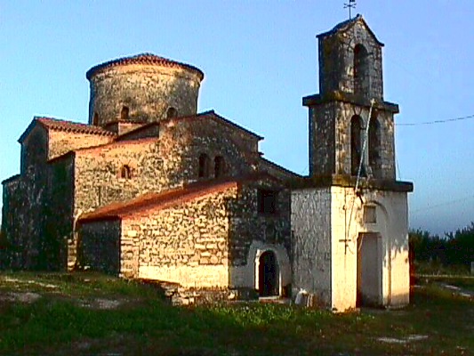
- In the villages of Plisioi: The byzantine church of St. Dimitrios Katsouris, one of the most ancient byzantine monuments of Arta dated bact to the 12th – 13th century.
- In Kirikizates: The Monastery of St. Nicolas of Rodia, with mural and a beautiful decoration of the 13th century. It is about an exceptional sample of byzantine art
- In Vlacherna: The Monastey of Virgin Mary of Vlacherna
- In the region of Grammenitsa: The mosque of Faik Pasa
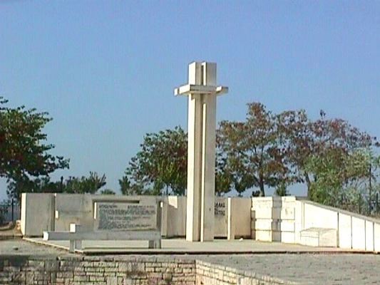
- In the village of Peta: The monument of the killed people on the top of the village, the church of St. George
- In the village of Neochoraki: the byzantine monastery of Virgin Mary of Bryoni
Peta is located 8 km. at the east part of Arta, on a wholegreen hill full of olive trees and citrus. It is famous from the battle of the 1822 against Ottoman, where there were killed 80 Είναι γνωστό από τη μάχη του 1822 με τους τούρκους όπου έπεσαν και 80 Philellines.
Villages in the region of Anogeio
 Roman aqueduct in Agios Georgios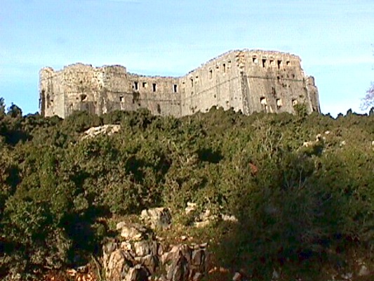
The village of Gorgomylos is located at the region of Anogeio, at the northeast part of the prefecture of Preveza and is the seat of the Municipality of Anogeio. It is a village of farmers and shepherds, one of the most charactesitic villages of the region.
Sights in the village:
- Post – byzantine churches with beautiful mural: St. Apostoles, Virgin Mary, Taxiarches and St. Dimitrios
- Ancient site of Orraon: It is located at the region of Gorgomylos. It is an archaelogical residence of Molossoi dated back to the 5th century B.C.
Throughout the whole region there are post – byzantine churches with significant wall paintings.
Sights in the wider region:
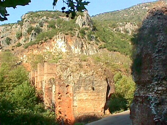
- In Agios Georgios: Cave of Asprochaliko where there were found stone tools and animal bones of the middle paleolithic time. Near the villages there are the ruins of the Roman aqueduct that supplied with water ancient Nikopolis. There is also a hydroelectric dam.
- In Pente Pigadia: Ruins of fotress (Ottoman headquarter during the war), monument of the massacred during the Second World War
- In Kerasonas: Monastery of Faneromeni
Villages in the region of Vourgareli
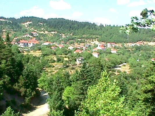
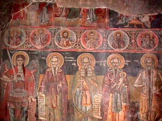
In the region Vourgareli (Drosopigi) there are many significant villages that have very important sights of all kinds for the visitors. The region is located at the north part of prefecture of Arta and has some of the best forests in the prefecture.
See in the wider area:
- In Athamanio: Watermill in Ano Athamanio, watermill in Kato Athamanio, Bridges (of Megali Vrysi, Tsagaraki, Mega Lagkadi and Plateia). Athamanio is the biggest village of Tzoumerka and is constantly developed.
- In Kypseli (Ramia): Traditional buildings, folk art museum, Monastery of Evagelistria with rare wall paintings.
- In Tetrakomo: Forests of fir trees
- In Mesounta: Traditional stone arch, restaurants and cafes into an endless forest of fir trees.
- In Distrato: Folk art museum, monument of the national resistance from the era of Second World War at the location of Trapezaki, old listed buildings.
- In Rodavgi: Church of St. Paraskevi
Villages in the basin of Ioannina
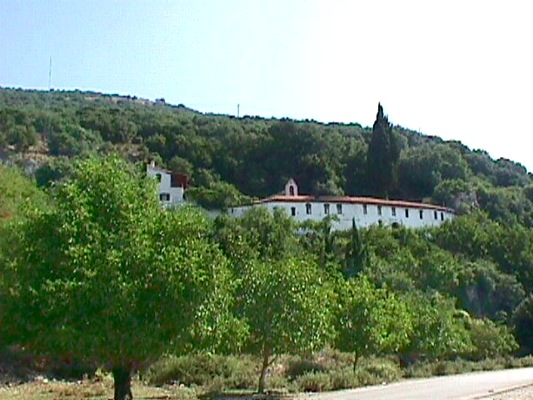
In the region of the basin of Ioannina there are many significant villages. These villages have many sights and monuments to show to every visitor. The little distance taken for granted from the city of Ioannina, the capital city of Epirus, these villages are an excellent destination of trips for the visitors of the city.
Sights in the villages of the region:
- In the Island of Ioannina: The seven significant monasteries: Monastery of St. Nicolas Filanthropinoi, monastery of St. Panteleimon, monastery of Dilios, monastery of Eleousa of Gkioumata of the 13th century, monastery of the Metamorphosis of Christ of the 17th century, monastery of St. Ioannis the Baptist from 1506. An important sight is the Historical museum of the Island
- In Elliniko: Monastery of Tsouka
- In Logades: Church of th Dormition of Virgin Mary of the 17th century, Monastery of the Birth of Virgin Mary of Dourachani. The monastery was built in 1434 by Dourachan Pasa because he passed with his army over the frozen lake and he believed that it was a miracle.
- In Kastritsa: Paleolithic cave of Kastritsa, ancient city of Tekmon (city of Molossoi), monastery of St. Ioannis the Baptist of Kastritsa from the 17th century
- In Megalo Gardiki: Ancient city of Passarona (the capital city of Molossoi), post – byzantine church of Virgin Mary at the location of Eikonismata
- In Grammeno: Ruins of an ancient temple at the location of Kastri, old church of St. Taxiarches, a ruined monastery of Virgin Mary of Labrovitria, houses of many national benefactors and scholars (Zosimades, Kaplanis, etc.)
- In Vageniti: Byzantine church of St. George of the 16th century
- In Vounoplagia: Byzantine church of Virgin Mary of Faneromeni, post – byzantine church of St. Dimitrios
- In Zoodochos: Post – byzantine chruch of Zoodochos Pigi
- In Eleousa: Monastery of St. George of the 17th century, church of the Dormition of Virgin Mary with beautiful wall paintings
- In Rodotopi: Temple of Zeus, post – byzantine church of the 17th century with a beautiful belltower, folk art museum and an old school.
- In Kato Lapsista: Church of St. George of the 15th century with rare wall paintings
- In Petralona: Archaeological site of paleolithic ruins
- In Mpizani: Museum of Greek History of Pavlos Vrellis [www.vrellis.org], fortress of Mpizani of 1912
- In Perama: Cave of Perama with impressive stalaktytes and stalagmytes
- In Ligiades: Monastery of St. George of the 1681
- In Amfithea: Monastery of St. Anargyroi of the 1848 where there were gravd 17 women from Ioannina along with Kyra Frosini, all drawned by Ali Passa
- In Vasiliki: Monastery of St. Nicolas of Tzioras of the 17th century
- In Krapsi: Church of St. Nicolas of the 1563 with beautiful icons, monastery of the Dormition of Virgin Mary of the 11th century
- In Platania: Church of Jesus Christ of the 17th century
- In Iliokali: Monastery of the Dormition of Virgin Mary of the 17th century with beautiful icons, located on the mountain of Driskos
- In Katsikas: Church of St. Taxiarches of the 15th century
Zagorochoria – Central Zagori – Villages near Tsepelovo
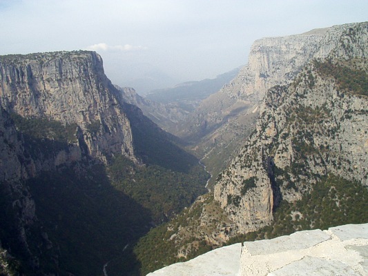
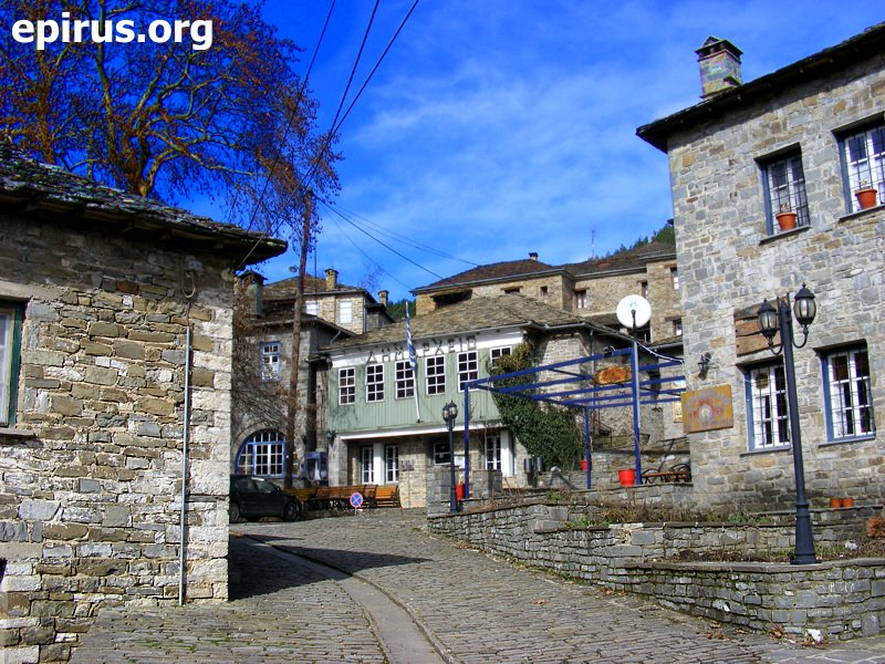
Tsepelovo is located at a distance of 51 km. from Ioannina and is built at an altitude of 1.080 m. It is famous from the 16th century and here opened the fisrt school in 1700. In 1868 was the capital city of the Ottoman administration in Zagori. By the donation of benefactors were built buildings, schools, mansions and fountains. The village accepts a big number of visitors every year and has an excellent substructure of guesthouses and restaurants for the visitors’ service.
Sights in the villages of the region:
- In Tsepelovo: Old mansions of Papazoglos – Tsavalias 0 Bazimas, church of St. Nicolas of the 1708, church of the Dormition of Virgin Mary, church of Kato Panagia, monastery of St. Ioannis the Baptist of Rogovos of the 1749
- In Skamneli: Monastery of St. Nicolas from the 1863, moastery of St. Paraskevi from the 1697, church of the Apostoles from the 1793, old mansions of Theodosis – Fragkoulis etc, traditional faucets, walls from the colony of Pelasgoi, fold of the Vlachs in Gyftokampos
- In Laista: Church of Taxiarches of the 1778, monastery of the Holy Trinity at the location of Kleftis
- In Iliochori: Monastery of Dobrinovo from the 14th century with a significant iconostasis, church of St. Nicolas of the 1850, stone bridges
- In Vrysochori: Church of St. Charalampos of the 1819, monastery of the Holy Trinity of the 17th century, traditional faucets and stone bridges
- In Vradeto: Location of Beloi (Vikos gorge), stone stairs of Vradeto, church of the Birth of Virgin Mary of the 1799
- In Kapesovo: Church of St. Nicolas of the 1793, church of the Dormition of Virgin Mary of the 18th century, folk art musuem, Paschaleios School, where there is the Charter of Rigas Feraios
Zagorochoria – Central Zagori – Monodendri
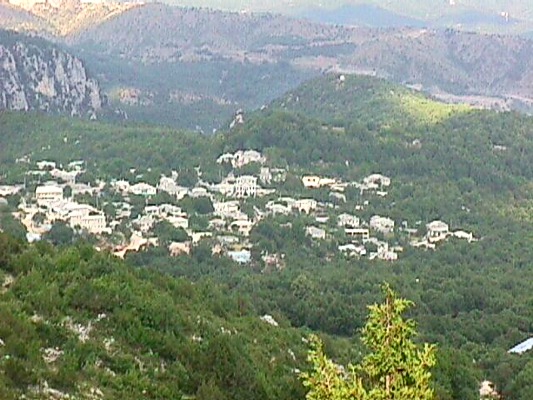
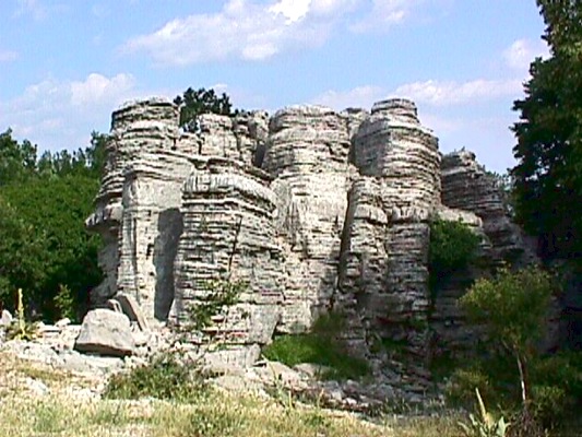
Monodendri is one of the most beautiful villages of Zagori, built at an altitude of 1060 m. at a distance of 39 km. from Ioannina. Its name came up from a big fir that there was in the village until 1840, Until 1753 it was a community separated in three unities (Vitsa, Ano Machalas, Agios Georgios).
The viallge developed very much during the 17th and the 18th century, where the benefactors filled it with mansions, churches and schools. From Monodendri come from the benefactors Rizaris brothers. It is about a viallge that gathers the majority of the visitors in the whole Zagori and has many significant guesthouses and restaurants.
Sights in the villages of the region:
- In Monodendri: Stone mansions, church of St. AThanasios of the 1801, church of St. Minas of the 1620, church of St. George of the 18th century, monastery of St. Paraskevi of the 1413, stone towers at the location of Oksia, Vikos gorge, archaeological site at the location Genitsari, sights of Rizaris foundation
- In Ano Pedina: Church of St. Paraskevi of the 16th century, monastery of Evagelistria of the 1793, church of St. Dimitrios of the 1793
- In Kato Pedina: Church of St. Athanasios of the 18th century, church of Taxiarches of the 1591, ancinet graves from the 11th century
- In Vitsa: Church of Prohet Elias of the 17th century, church of St. Nicolas, church of Virgin Mary, chruch of Taxiarches of the 17th century
- In Dipotamos: Stone bridges, church of the Dormition of Virgin Mary of the 1872
- In Kalota: Church of the Birth of Virgin Mary, monastery of Visokos of the 1114, old masions
- In Manassi: Church of St. George of the 1780
- In Dikorfo: Beautiful square, old mansions, church of St. Minas of the 1170, monastery of Stoupaina from 1440
- In Elati: Old mansions, church of St. George of the 1806, faucets, stone bridge
- In Aspraggeloi: Beautiful houses, belltower of the 1915, old monastery of Dovra from 1600, walls of the old residence
Zagorochoria – Central Zagori – Kipoi
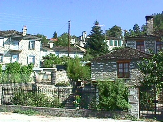
The village of Kipoi in Zagori is a famous residence from the 1431. It is about the former capotal city of Zagori with significant buildings and bridges. The village is located at a distance of 38 km. from Ioannina, the capital city of the prefecture and is built at an altitude of 800 metres. It worths visiting it.
Sights in the villages of the region:
- In Fragades: Watermill of Valeka, stone bridge of Petsioti, church of St. Dimitrios of the 1779, church of St. Nicolas of the 17th century, monastery of Virgin Mary, traditional faucets and stone paths
- In Negades: Church of triune of the 1779 with famous icons and gilded iconostastis
- In Koukouli: Old mansions of Kokkoris and Plakidas, traditional faucets of Basias and Manthos, old school, folk art museum of Lazaridis, church of the Dormition of Virgin Mary of the 1788
- In Dilofo: Old mansions, school of Anagnostopoulos of the 1855
- In Kipoi: Monastry of Bagia of the 1841, church of St. Nicolas of the 1779, church of St. Paraskevi, folk art museum of A. Tolis, bridge of Kokkoris of the 1750, bridge of Plakidas (Kalogeriko) of the 1748, bridge of Kontodimos – Lazaridis, bridge of Petsonis, bridge of Ntovris, bridge of Merissios
Zagorochoria – Villages in the western Zagori
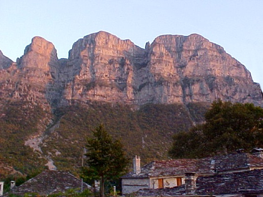
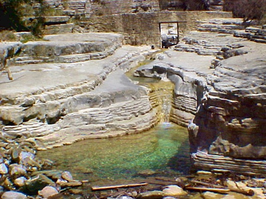
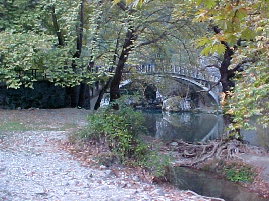
Papigo is one the most beautiful villages of the western Zagori and is located at a distance of 62 km. from Ioannina. It is built at an altitude of 980 metres at the foothill of Astraka. The village is built from the 14th century and has two residences, Mikro Papigo and Megalo Papigo.
Many benefactors donated the region with buildings, mansions, churches, schools, etc. The buildings are stoned and based on the traditional architecture of Zagori. This fact gives to the village a special traditional colour. Stone streets and paths that lead to monasteries and churches, to the springs of Voidomatis, to fountains and faucets, to the natural swimming pools of Rogovos and the lodge of the Trekking Club of Astraka.
Papigo is characterised the last years as a traditional villages and has many tourists and trippers every year. In the village there is and excellent substructure with many hotels and guesthouses that preserve the traditional colour and the architecture of Zagori. It is considered as one of the most beautiful traditional villages of Greece.
Sights in the villages of the region:
- In Megalo Papigo: Astraka, Church of St. Vlasios with a hexagonal belltower of the 1852, church of the Dormition of Virgin Mary of the 18th century, church of St. George of the 18th century, old mansions
- In Mikro Papigo: Astraka, Church of St. Taxiarches of the 19th century, Rogovos ovire (natural swimming pools), mountainous shelter in Astraka at an altitude of 1950 metres, Drakolimni at an altitude of 2200 metres.
- In Vikos: Church of St. Tryfonas of the 1871 with a significant iconostasis, monastery of Virgin Mary of the 1738 into the gorge of Vikos with beautiful icons
- In Aristi: Church of the Dormition of Virgin Mary of the 1718 with a big belltower, monastery of Virgin Mary of Spiliotissa of the 1579 on a rock in Voidomatis river, old faucet, bridge of Voidomatis
- In Agios Minas: Bridge of Voidomatis in Kleidonia, Church of Evagelistria of the 1576
Zagorochoria – Villages in the eastern Zagori
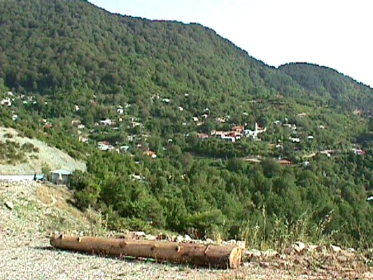
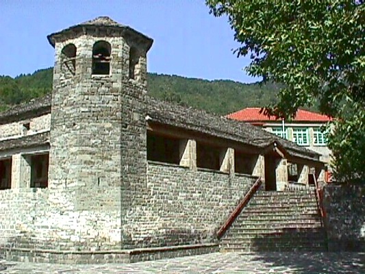
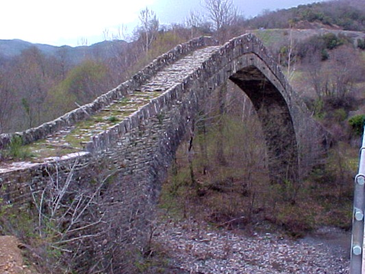
One of the most representative villages of Eastern Zagori is Greveniti which is located at a distance of 44 km. from Ioannina and is built at an altitude of 980 m. It has a great view, it is plenty of nature and flow water.
Many habitants were killed by the Germans during the Second World War and in honour of them there is a marbled column with their names at the entrance of the village. The habitants that today live permanently in the village occupy mostly with the animal breeding, logging and beekeeping.
The visitor can find in Greveniti a medical centre, shops and guesthouse. The last few years there is a big number of tourists that visit the village.
Sights in the villages of the region:
- In Greveniti: Monastery of Voutsa, traditional faucets, bridge of Tsipiani of the 1875, monumet of the massacre of the habitants
- In Doliani: Bridge of Delgina, rocks of Kouri
- In Tristeno: Watermill
- In Miliotades: Bridge of Kaber Aga
- In Vovousa: Bridge of Aoos, national gorge of Valia Calda
- In Flabourari: Church of St. Nicolas
Villages in the region of Fanari
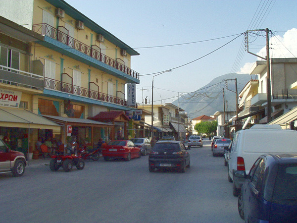
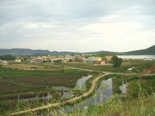
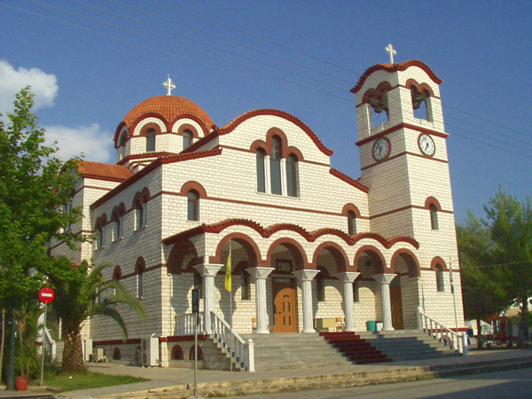
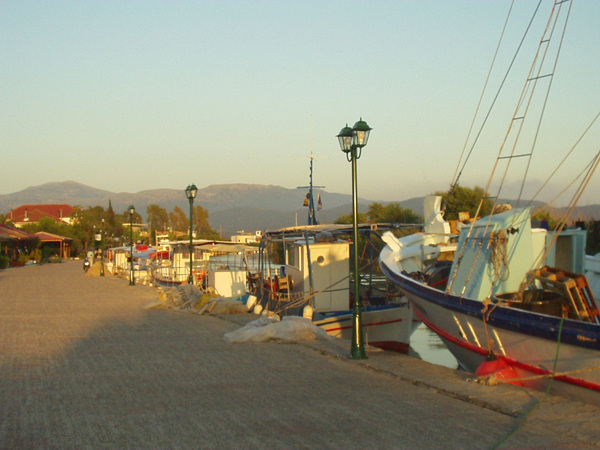
The region of Fanari is located at distance of about 45 km. from the city of Preveza, the capital city of the prefecture. The centre of the region is Kanallaki, where is situated the municipality of Fanari. The region is characterised by the river mouth of Acheron and by the plain of Acheron.
Sights in the region:
- In Kanallaki: Ruins of the ancient Pandosia, Monastery of Bounta, Church of St. Ioannis
- In Mesopotamos: Necromancy of Acheron, ancient Ephyra (5th – 6th B.C. century)
- In Kypseli: Monastery of St. Dimitrios of the 1242 where is saved the church
- In Vouvopotamos: Gorge of Acheron – Gates of Ades
- In Kleisoura: Church of the 1855 with stone iconostasis and icons
- In Ammouda – Splantza: Historical residence in the river mouth of Acheron
Villages in the region of Tzoumerka – Katsanochoria
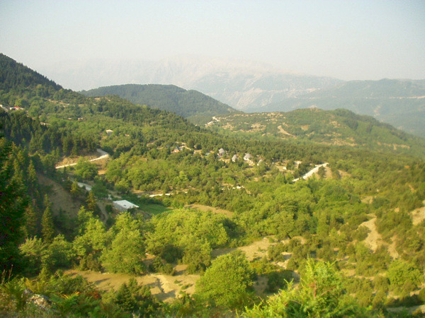
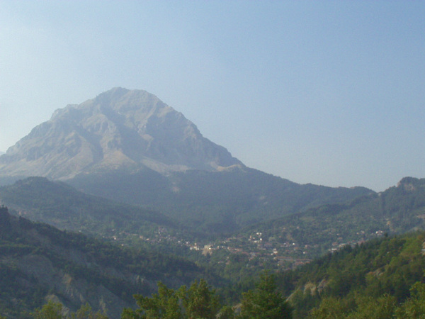
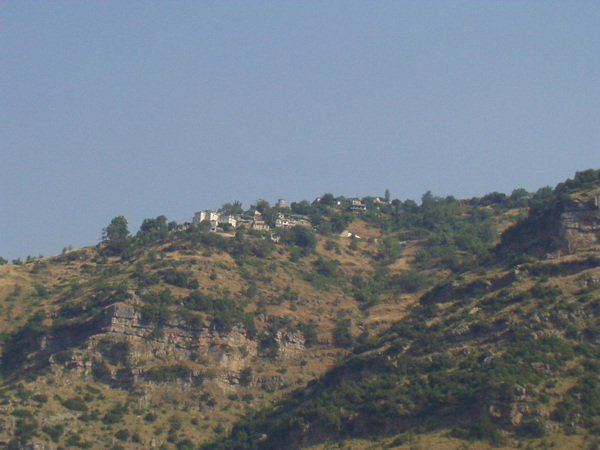
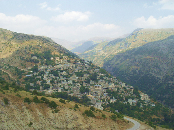
This region is located at the south east part of the prefecture of Ioannina. It is characterised by the landscape changes but also by the high and snow covered mountains, the “proud Tzoumerka”, like is mentioned the region by the folk tradition. At this area also is located the region of Katsanochoria.
Sights in the region:
- In Chouliarades: Church of St. Paraskevi, stone buildings, the gorge of Arachthos and Kalarrytikos, the bridge of Tsibovo in Arachthos river, suspension bridge of Gkogkos
- In Michalitsi: Church of St. Pantes of the 1836, church of St. Nicolaos with stone candelabrums
- In Prosilio: Chuch of St. Vlasios of the 1875
- In Palaiochori: Church of the Birth of Virgin Mary
- In Petrovouni: Church of St. Ioannis the Baptist, church of St. Taxiarches
- In Kalarrytes: Church of St. Nicolaos, monastery of Kipina
- In Syrrako: Church of St. Nicolas with beautiful icons and brocade epitaph, Church of the Dormition of Virgin Mary of the 19th century, Church of St. George of the 1817, Church of the Metamorphosis of Christ, Monastery of Prophet Elias of the 19th century, Church of the Apostoles at the top of Priza, house – musuem of Avdikos etc.
- In Fortosi: Stone bridge of Politsa, Church of the Dormition of Virgin Mary, which is a sample of the Byzantine church architecture
- In Kalentzi: Waterfalls of Klifki, archaeological site of Kastri
- In Plaisia: Church of St. Ioannis the Baptist, old church of Virgin Mary, hometown of Zan Moreas
- In Monolithi: The historical bridge of Plaka
- In Pramanta: Church of St. Paraskevi of the 1876, cave of Anemotrypa, monastery of Kipina and bridge of Kipina
- In Matsouki: Monastery of Vyliza with icons of the 17th century
- In Platanousa: Monastery of Psiadi of the 1804 with wooden gilt iconostasis
- In Mousiotitsa: Monument of the massacre by the Germans
- In Terovo: War museum of Emin Aga with statues of the 1912 – 1913
Except for the villages of the region of Tzoumerka that are mentioned above and are located at the prefecture of Ioannina, there is also a part of the region of Tzoumerka that belongs administratively to the prefecture of Arta. Please see more about these villages of Tzoumerka at: www.tzoumerka.info
Villages in the region of Parga
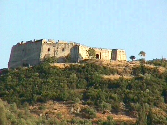
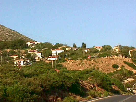
Anthousa:
Village of the region built into a beautiful landscape.
Agia:
A village built on the most mountainous palce of the region. Near the village is located Sarakiniko beach.
Villags in the region of Lakka Souli
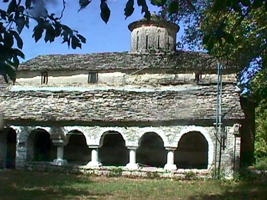
The region of Lakka Souli includes many interesting villages of the prefecture of Ioannina. One of the most famous monuments of the region is the Ancient Theatre of Dodoni with a history of centuries, from the ancient time till nowadays. Except for the ancient theatre, there are also many other monuments, post – byzantine and modern.
Sights in the villages of the region:
- In Manteio: Ancient Dodoni
- In Meligi: Folk Art Museum [www.epirus.com/meligi]
- In Kostaniani: Church of St. Taxiarches, of important archaeological value of the 1057
- In Dragopsa: Church of St. Nicolas of the 1820
- In Poligiros: Folk Art Musuem, Church of St. Kiriaki
- In Psina: Church of Virgin Mary of the 1880
- In Tyria: Stone built bridge
- In Derviziana: Monastery of St. Dimitrios of the 1664, Monastery of Messiana of the 1764
- In Romano: Monastery of the Metamorphosis of Christ of the 1113
- In Sistrouni: Monastery of Virgin Mary of the 1156 full of significant wall paintings, watermill at the springs of Acheron river
- In Serziana: Gates of Ades
- In Achladea: Monastery of the Dormition of Virgin Mary of the 1743
- In Palaiochori Botsari: House of the family of Botsaris, a very old church of St. Ioannis
- In Pentolakos: Church of St. Theodoroi of the 1800
- In Variades: Church of Virgin Mary of the 1750
- In Dramesioi: Church of the Dormition of Virgin Mary of the 1664 with beautiful icons and undreground school from the era of 1821
Villages in the region of Konitsa
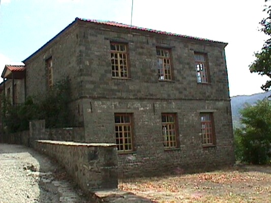
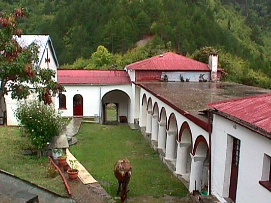
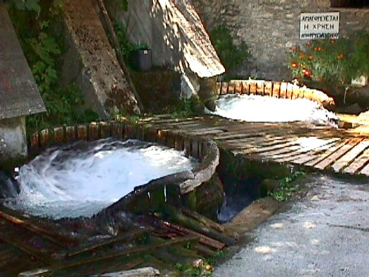
In the region of Konitsa except for the homonymous town, there also many important villages. In many of them there are interesting sights, of all kinds: Monuments, buildings, museums, traditional bridges, monasteries and churches, etc. The region is also famous about its mountains and forests.
Sights in the villages of the region of Konitsa:
- In Pirsogianni: Museum of stone builders, church museum of St. Nicolas
- In Molista Ganadio: The famous monastery of Molista, Spiridonia School
- In Kleidonia: Voidomatis Bridge, Rockshelter of Boila, the monasteries at the old village of Kleidonia: monastery of the Dormition of Virgin Mary of the 1620, monastery of the Apostoles of the 1662 and monastery of the metamorphosis of Christ (7th A.D. century) of the Emperos K. Pogonatos
- In Mazi: Folk Art Museum
- In Bourazani: Park of Wild Life and watermill
- In Aidonochori: Byzantine Monastery of St. Taxiarches of Gkoura, folk art museum
- In Molivdoskepasto: Monastery of the Dormition of Virgin Mary of the 7th century, church of the Apostoles of the 1298
- In Distrato: Prophet Elias, Church of the Dormition of Virgin Mary of the 19th century, Watermill
- In Fourka: Folk Art Museum. monument of the heroes Diavakis and Diakos at the location of Prophet Elias, Monastery of Kladormi of the 1747 at a distance of 7 km. in the forest
- In Piksaria – Amarantos: Thermal springs
- In Nikanora: Church of St. Nikanoras, built on a rock with beautiful wallpaintings
- In Plagia: Stone bridge of Zerma, monastery of the Dormition of Virgin Mary of the 1656 with five domes
- In Kastanea: Church of St. Dimitrios of the 18th century, school of St. Kosmas of the 1778
- In Kavasila: Thermal springs, isolated monastery of Virgin Mary of the 1818
- In Vourbiani: Church of the Dormition of Virgin with an icon of St. George of the 1747
- In the gorge of Aoos: The monastery of Stomio
Villages in the region of Thesprotiko – Louros
|
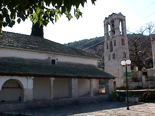
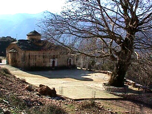
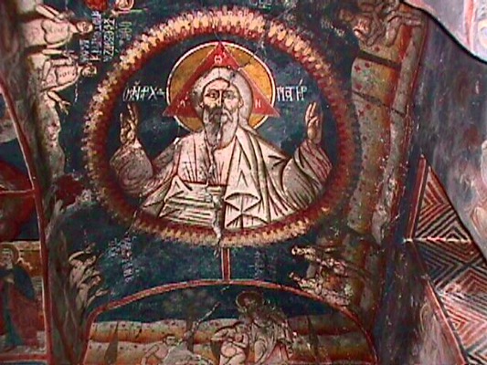
Thesprotiko is a town that is located at a distance of 38 km. north to the city of Preveza. It is the seat of the Municipality of Thesprotiko. It is about an alive villages of farmers and shepherds, full of life and shops.
Sights in Thesprotiko:
- Church of the Birth of Virgin Mary of Lampovitissa, a big stone church of 1797 with wall paintings and a wooden iconostasis.
- Museum of Folk Art, which is built in a ston house of 1860
- Archaeological site of Kokkinopilo, 1 km. from Thesprotiko. Here there were discovered 1500 stone tools of the year 35.000 B.C.
Sights in the wider area:
- In Rizovouni: Ancient colony of Ileioi (Vaties) of the 8th century B.C., monastery of the Dormition of Virgin Mary of the 1095 A.D., Church of St. Paraskevi (built on a rock) of the 1025 A.D.
- In Galata: Cathedral Temple of the 18th century with stone belltower
- In Meliana: Watermills and stone threshing floors
- In Polistafilo: Church of the Dormition of Virgin Mary of 1848 with beautiful wall paintings
- In Messiana: Church of Apostoles and monument of the massacre in Dalamani during the period of the Second World War
- In Assos: Watermills and stone threshing floors
- In Vrysoula: Monatery of Avassos
- In Oropos: Ruins of the ancient Elatria (colony of Ileioi)
Villages in the region of Zitsa
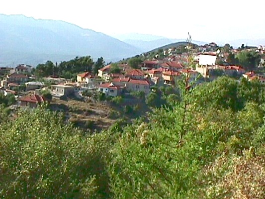
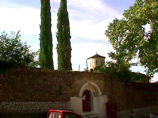
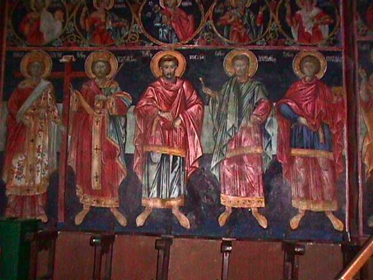
Zitsa is built onto a ridge at an altitude of 670 m. and is located at a distance of 24 km. from Ioannina. It is famous for its amazing vineries and its wines (designation of origin). It is the historical seat of the homonymous municipality. In 1809 Lord Byron visited it.
Sights:
- In Zitsa: the Monastery of Prohet Elias of 1598 with its beautiful wall paintings
- In Lithino: Theogefyro bridge in Kalamas, Monastery of Holy Fathers
- In Sakelariko: The grave of Sakelaris, an aviator, hero of the 1940
Sights in the other villages of the region:
- In Klimatia: Church of St. Dimitrios of 1516, Chruch of Dormition of Virgin Mary of 1546, Chrurch of Metamorphosis of Christ of 1568, Chruch of the Holy Trinity of 1754, waterfall of Klimatia
- In Paliouri: The historical monastery of the Birth of Virgin Mary, built by the Despot of Epirus, Thomas Preloumpos in 1373, watermill
- In Soulopoulo: The House of Christos Christovasilis Χρηστοβασίλη
- In Raiko: Church of St. Nicolas with wall paintings from the 14th century, monastery of Virgin Mary in Kastri
- In Vasilopoulo: Bridge of Gousdani of the 1300
- In Karitsa: Monastery of St. Nicolas of the 16th century
- In Vereniki: An ancient castle
- In Giourganista: Founds of the temple of Apollon. Giourganista was the home of Samouil, the monk who was exploded at the holocaust of Kougki
- In Kourenta: Church of St. George
- In Dichouni: Monastery of Dichouni, where in 1611 Dionysious the Philosopher started his revolution in 1611 against the Ottomans
Villages in the region of Zalogo – Preveza
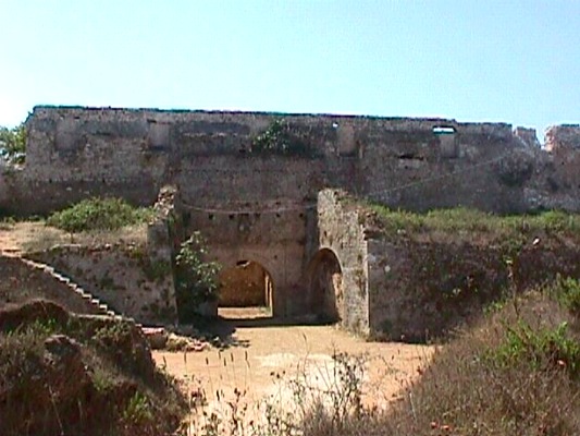
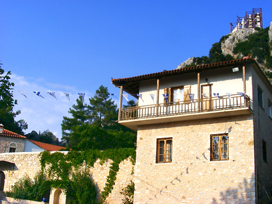
The region of Zalogo – Preveza, beyond its long history, it offers also many interesting sights to its visitor.
The most important of them are:
- In Agios Thomas: Monastery of St. Apostoles of 1794, Ixthyoskala
- In Pantokratoras: Castle of Pantokratoras
- In Mytikas: A magnificent beach
- In Michalitsi: Roman Grave
- In Archaggelos: Ruins of a roman aqueduct, and a monument from the era of Second World War and the Civil War
- In Kanali: Seat of the Municipality of Zalogo, a beautiful beach
- In Nea Sampsounta: Kozyli Monastery (Dormition of Virgin Mary) of 774 A.D. – Only the temple
- In Kastrosykia: Monastery of St. Pelagia of 1613 (renovated and and manned)
- In Kamarina – Zalogo: Archaeological site of Kassopi (Ileioi’s colony)
- Monument of Zalogo: Here in the location of Stefani above the monastery of St. Dimitrios fell from the rock 63 women of Souli with children hunted by the Turks, in 1803. You can visit the monument by hiking from Kamarina.
- In Myrsini: Church of St. Nicolas (the entrance only is saved), Monastery of Lekatsa
- In Riza: The castle of Riniasa of the 13th century that was built by Thomas, Despot of Epirus
A trip to the prefecture of Ioannina, duration 4 days
| <! – 1η φωτό ->
<! – 2η φωτό -> <! – 3η φωτό ->
<! – 4η φωτό -> |
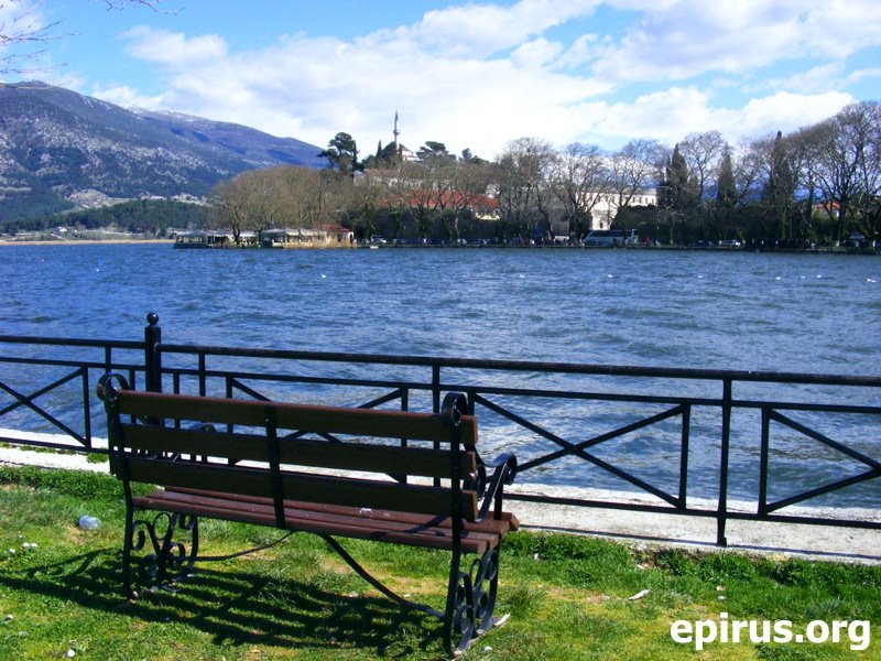
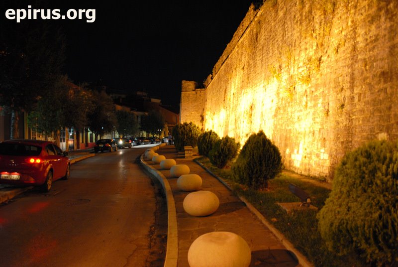
We suggest you a programme of tours and visits which you can use during your trip to the city of Ioannina. The programme of the visits lasts 4 days and you will have at least 3 overnights in the region, at a hotel of your choice. In this way, you will have the chance to admire the most important sights of the region.
1st Day:
Arrival to the city of Ioannina by car or plane. During the first day of your sta, we suggest you visit:
- The historical castle of Ioannina and see the spaces and the bulidings inside it, but also and the two museums that there are inside the castle, the Byzantine Museum and the Folk Museum
- The lakeside region of Molos with the cafes and the taverns
- The populated island of Pamvotida lake, where you will see the Historical Museum of the Island at the Monastery of St. Panteleimon, the rest old monasteries and monuments of the island. You will also have the opportunity to enjoy tastes of the greek cuisine and local dishes at the taverns of the island
- For you night entertainment, if you wish, you can visit the bars and clubs at the region of Molos or at the region of Skala (near the castle) or during the summer period, the nights clubs that there in Amfithea, at a distance of 10 km. from the city, on the nationl road of Ioannina – Trikala.
2nd Day:
During the second day of your stay in the area, we suggest you visit:
- The museums of the city of Ioannina: the Archaeological museum, the Folk museum. etc, that there are in the centre of the city of Ioannina
- The archaeological theatre of Dodoni, one of the most important archaeological monuments of our country, built in the 3rd century B.C. [Access to archaeological Dodoni: Distance 22 km. from the city of Ioannina. You follow the national road of Ioannina – Athens, with direction to Athens until the 7th km. In this point you turn right to the village of Pedini and follow the road for 15 km.]
- The worldwide famous “Museum of Modern Greek History” of waxes, of the creator Pavlos Vrellis. The museum is accommodated into a stone buliding – copy of a mansion of Epirus of the 18th century and includes 36 succeeding sculpting compositions and 150 waxes of natural size. [The museum is located at the 12th km. of the national road of Ioannina – Athens]
3rd Day:
- Visit the Cave of Perama which is located to the homonymous residence, 4 km. from the city of Ioannina. Inside it dominate stalactites and stalagmites of strange shapes and colours, in a route of 850 metres. [Access from the national road of Ioannina – Trikala, 4th km. through Perama]
- Departure for Zagori (for lodge choice please see www.zagori.info)
- Trip to the picturesque villages of Zagori and its sights which there are to the region (bridges, canyons, paths, old mansions and other monuments – for more information please see www.zagori.info)
- Don’t forget to eat at the traditional taverns and restaurants of Zagori, where you will have the chance to meet the rich tradition of the region, but also the tastes that you will find here only. Taste definitely the local pies and other specialties of the region.
4th Day:
- Visit Vikos gorge which is considered to be one the best canyons of Europe. The canyon is approachable from many places: From the village Monodendri at the location of Oksia, from the locations of Beloi (near the village Vradeto), from the Monastery of St. Paraskevi near Monodendri, etc. You can also go down the gorge from the marked paths that there are in the region (duration about 6 hours) from where you can enjoy the region and the rare species of animals that live into it.
- Visit the rivers of the region, where you can do canoeing, kayak, rafting, and othe relative activities, such as the river of Voidomatis, after Aristi village.
- Departure from the region.
Paraschuting in the region of Zagori
| <! – 1η φωτό -> <! – 2η φωτό -> |
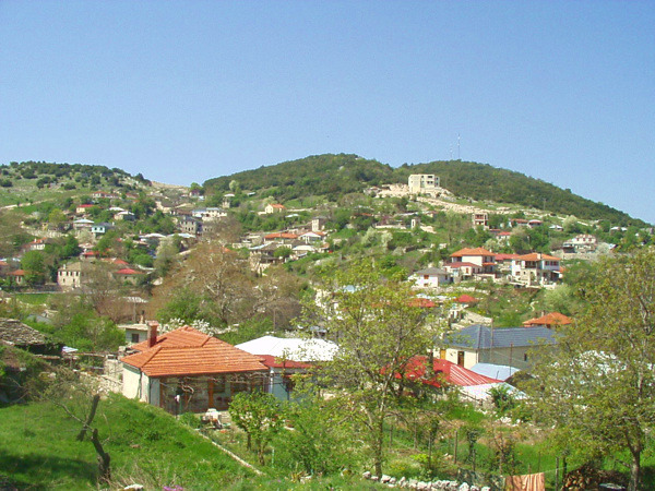
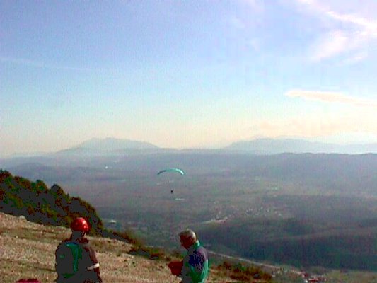
The prefecture of Ioannina, which is a mountainous place at its largest part, is a place of attraction for paraschuting. Takeoffs take place in the village of Aspraggeloi of Zagori, where there is an appropriate track, but also in many other places of the mountanous region of Zagori. The village of Aspraggeloi is located at a distance of 30 km. from the city of Ioannina and the access to the place is by car from an rural path of the region.
Climbing in Tzoumerka
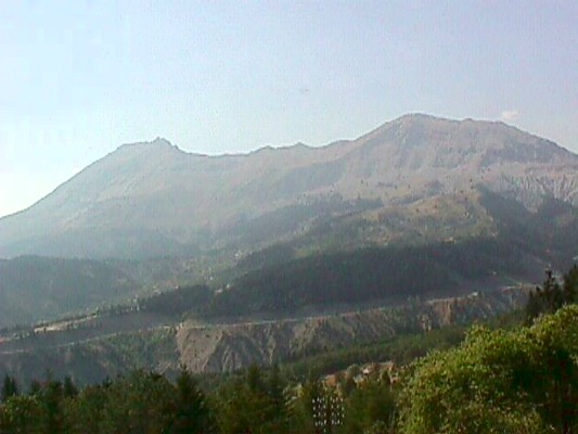
You can do climbing at the mountainous bulk of Athamanika mountains (Tzoumerka). For more information you can contact with the local Trekking Club.
Trekking Club of Arta
7 Tzavella st., tel. +30 26810.28030.
For information about the region of Tzoumerka, please see our e-guide: www.tzoumerka.info.
Climbing in the region of Zagori
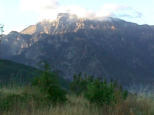
In the region of Zagori there are many climbing fields of high or lower degree of difficulty that offered to everybody that loves going climbing. You will find climbing fields at Gkamila (altitude 2497 m.), at Tsouka Rossa (altitude 1987 m.), at Astraka (altitude 2436 m.) and at other places.
Climbing in the region of Konitsa
| <! – 1η φωτό -> |
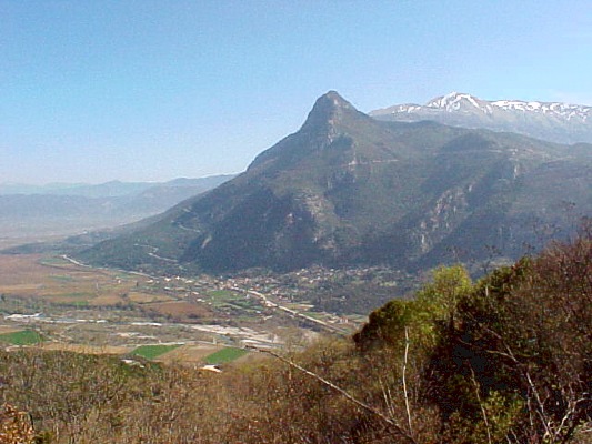
In the region of Konitsa there are climbing fields with different degrees of difficulty. The region is offered fro climbing due to the morphology of the ground. You will find climbing fileds in Mavrovouni near Konitsa, in Kleidonia and in other places. At the region of Mavrovouni you will also enjoy the magnificent view of the region.
Water sports in the prefecture of Preveza
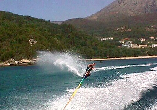
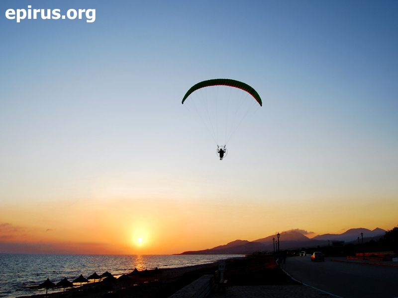
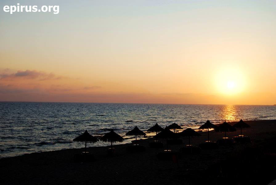
The prefecture of Preveza with its endless beaches is the ideal destination for those who love water sports. In Preveza you will find any beach that satisfies you more to do these activities:
- Jet – skiing: At Lichnos beach
- Sea skiing: At the beaches of Lichnos, Valtos, Kastrosykia, Vrachos
- Surfing: At the beaches of Lichnos, Valtos, Kastrosykia, Kanali
- Parasailing: At the beaches of Lichnos, Valtos
- Diving: At Pantokratorsa beach, at the west of Kelidi cape, around the castle of Parga, at the islet of Agios Nikolaos in Parga, at an ilset near the island of Virgin Mary, at Lygia, at Katrosykia and in every beach of the prefecture.
- Beach volley: At the beaches of Vachos, Ammoudia, Kanali, Kastrosykia, Monolithi
- Water games: At the beaches of Valtos, Ammoudia, Kastrosykia, Lichnos and at Parga beach
Trekking pathways and trails in the prefecture of Ioannina
| <! – 1η φωτό -> <! – 2η φωτό -> <! – 3η φωτό -> <! – 4η φωτό -> |
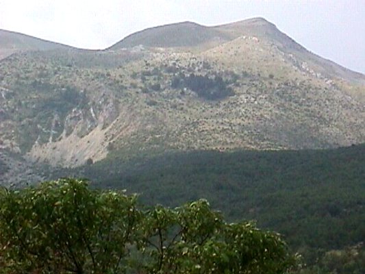
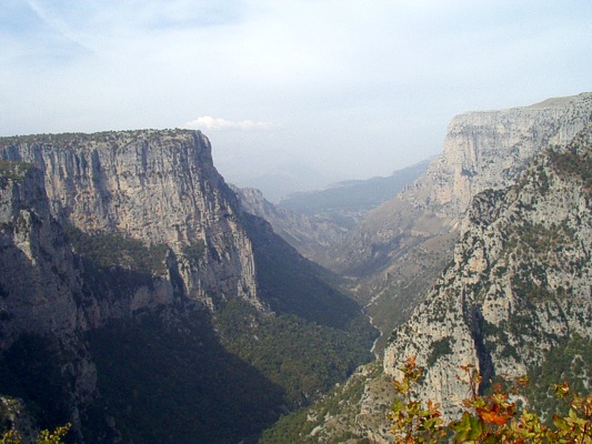
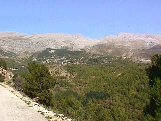
International trekking trail E6 – Part of Ioannina
It comes into the prefecture from the region of Dodoni and continues until Loggades, Balntouma, Megali Gotista, then to the peak of Peristeri and Metsovo. From this point continues to Milia, Valia Calda, Vovousa, Distrato and comes into the region of Vasilitsa in the prefecture of Grevena.
National Trekking trail O1
Along with the trail O3 it connects the european pathways E4 and E6. It starts from Metsovo in the same route with E6 until Peristeri and then continues to Syyrako, Kalarrytes, Kakarditsa and ends in Gardiki.
National Trekking trail O3
From the city of Ioannina, as a starting point the pathway O3 passes and follows in the beggining the path to the lodge of Mitsikeli and continues by passing successively the centre of Mitsikeli, the villages Dikorfo, Kipoi, Vitsa, Vikos gorge, the village Monodendri. Then it goes down to the canyon of Vikos, in a unique passage that makes this pathway the most beautiful, for the majority of Europeans. Then, it flows to the springs of Voidomatis and continues to the villages Mikro Papigo, Vrysochori, Aoos bridge, Pades, Drakolimni of Smolikas, Agia Paraskevi, where ir meets the international climbing trail E6.
Climbing at the mount of Tymfi
The mount of Tymfi, at an altitude of 2.497 m., is the most imposive mountain of Epirus. The lanscape of high peaks, steep slopes that end into deep gorges, is breathtaking. The highest and the most famous peak is “Gamila”. On its slopes there is the famous “Drakolimni of Tymfi“, at an altitude of 2100 m. From Mikro Papigo, as a starting point, and after five hours of trekking into a marked path, the Drakolimni of Tymfi and the view to mountain of Smolikas will compensate you. Altenatively, you can follow the national trekking trail 03 that crosses Tymfi from Papigo to Vrysochori. Tops such as Tsouka Rossa, Gkoura, Karteros and Astraka are also offered for trekking or climbing.
Other routes in the region of Zagori
Zagori with its 54 picturesque villages and its beautiful landscapes is an ideal place for hiking and trekking. Walking in its old pathways that they connected the villages you will see many beautiful stone bridges of Zagori that are famous for their achitecture and the standing thorugh the time. Altrenatively, you can follow the marked paths that cross Zagroi, such as O3 and other smaller.
We suggest you the following routes:
- Gorge of Voidomatis, accross the river into an easy walking parh
- Mikro Papigo – Mountain Lodge – Drakolimni of Tymfi
- Vitsa – Skala of Vitsa – Bridge of Kokkoris
- Kapesovo – Skala of Vradeto – Vradeto
- Kipoi – Bridge of Kontodimos or Lazaridis – Skala of Koukouli – Bridge of Misios – Skala of Vitsa – Vitsa
- Monodendri – Monastery of Agia Paraskevi – Spilies
Hunting at the prefecture of Ioannina
| <! – 1η φωτό -> <! – 2η φωτό ->
<! – 3η φωτό -> |
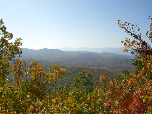
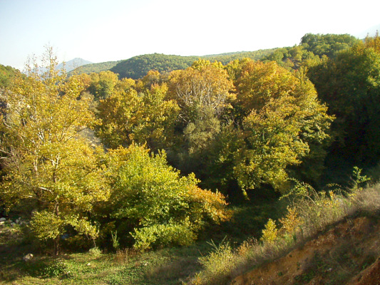
For those who love hunting, in the prefecture of Ioannina and especially in the regions of Pogoni they will find the ideal conditions to enjoy their favourite hobby. You can hunt many kind of birds, such as woodcock (in the whole Pogoni), wood pigeon (in Agios Kosmas) and also wild boar in the villages of Vissani and Ktismata.
The hunting is allowed at the whole prefecture, except for the regions that have been characterised protcted or animal shelters.
Climbing – Trekking in Pogoni
| <! – 1η φωτό -> <! – 2η φωτό -> |
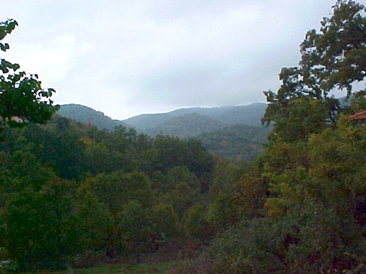
The mountain of Nemertsika is located at the north of Pogoni, at the borders with Albania. Its altitude is at 2.209 m. and is one of the highesr mountains of the prefecture of Ioannina. It offers ideal conditions for climbing to the experienced climbers through beautiful routes into green pure forests.
As starting point the village of Meropi, Kefalovryso or Palaiopyrgos you can follow routes of 3 or 4 hours (there are no marked paths), admire the exceptional viem of Pogoni from Nemertsika, especially from the places of Mpitsikopoulo and Prophet Elias.
The forest of Bouna is located near Delvinaki and offers beautiful routes because it is famous for its rich flora and fauna, like the valley of Gormos, which is nearby.
Other routes and trips in the region of Pogoni:
- From Doliana to Lykoskos (view of Tymfi & Nemertsika)
- Hiking in the forest of Meropi – Palaiopyrgos
- From Agios Kosmas to Roupsia
- From Oraiokastro to the springs of Gklava
- Trekking in the valley of Kouvaras, in a marked path
Cycling and canoe in Vovos river
| <! – 1η φωτό -> |
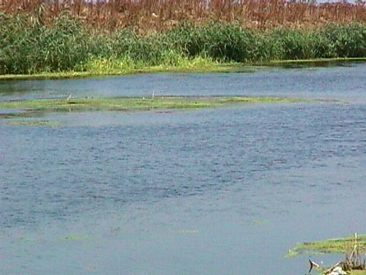
You can do cycling and canoying in Vovos river which is located near the river delta of Arachthos river. At the same time you will have the opportunity to enjoy the beauty of the nature of Epirus, in an important reserve of the region.
Mountain bike in the prefecture of Ioannina
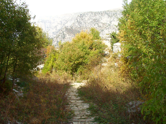
The prefecture of Ioannina is one of the most mountainous prefectures of the country. For this reason is offered for those who love mountain bike. The beautiful natural landscapes and the pictursque villages of the prefecture of Ioannina is a place for attraction for the lovers of mountain bike. One of the best route to take, is this between Mitsikeli mountain, the villages of Zagori, but also in the region of Katsanochoria.
Adventure sports in the region of Konitsa
| <! – 1η φωτό -> <! – 2η φωτό -> |
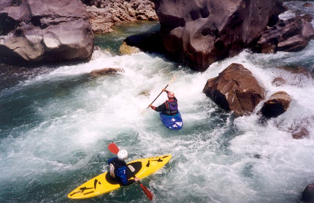
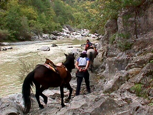
In the region of Konitsa in Ioannina except for the natural landscape, the fans of the adventure sports will have the possibility to enjoy many of them. At the same time in the region of Konitsa every year take place sports events including adventure sports such as:
- Paraschuting
- Kayak
- Mountain bike
- Climbing
- Rafting
- River cross
- Crossing of the gorge and many others
For information about the adventure activities, you can communicarte with the sports associations and clubs that there are in the region.
Canoe, Kayak, Rafting at Kalamas river
| <! – 1η φωτό -> |
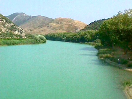
Kalamas river is one of the most famous river in Epirus. It is offered especially for those who wish to do water sports of adventure, such as Canoe, Kayak, Rafting, etc.
Suggested routes:
1. Vrosyna – Neraida: Difficulty degree 2+, Duration 4-5 hours
2. Neraida – Vrysela: Difficulty degree 2, Duration 3 hours
3. Vrysela – Dam of Kalamas: Difficulty degree 1, Duration 4 hours
Information:
Sailing club of Municipality of Igoumenitsa
17 Grigoriou Lampraki st.
Zip code 46100, IGOUMENITSA
Τel. +30 26650.22123, +30 26650.28370
Canoe, Kayak, Rafting at Aoos river
| <! – 1η φωτό -> <! – 2η φωτό -> |
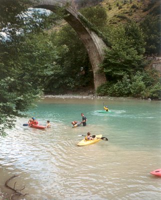
Aoos river is one of the most famous destinations for those who love adventure sports. With a dificculty degree from 3 to 5 offers amazing experiences to its visitors. The beautiful gorge, its stone bridge at the region of Konitsa and its unique natural landscape make the route really amazing.
Every year take place sports events in the region, with the participation of many Greek athletes and from abroad. In Konitsa there are clubs that organise canoying at the river and you can be taught everything you need if you wish to take part in this kind of activities.
Canoe at Voidomatis river
| <! – 1η φωτό -> |
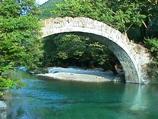
From the new bridge of Voidomatis rivers as a staring point, which is near Aristi the δroute with canoe from Kleidonia to the old stone bridge near the village of Konitsa is really amazing. The clear blue water of the river amazes every visitor with its colour and justifies totally the characterisation of the clearest and the most beautiful river of Europe.
During the route of about 4 km. you will come accross the beautiful gorge of Voidomatis with none difficulty and you will enjoy the nature of the National Gorge of Vikos – Aoos.
Ski at the region of Metsovo
| <! – 1η φωτό -> |
At the picturesque Metsovo which is located at a distance of 55 km. from the city of Ioannina, at an altitude of 1.150 m. there are two organised ski centres: The first one is “Karakoli” and the other is at the location of “Prophet Elias“.
The ski centre “Karakoli” has two ski-slopes, it is located at an altitude of 1.350 – 1.520 m. and at a distance of 2 km. from the centre of Metsovo.
The ski centre of Prophet Elias is located at a distance of 5 km. from Metsovo, at the plateau of Politses, at the foothills of Mavrovounio. It has 4 ski-slopes at an altitude from 1.430 m. – 1620 m.
Information:
Tel. +30 26560.41345 & +30 26560.41095
Mountain trails in Thesprotia
| <! – 1η φωτό -> |
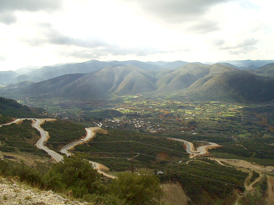
One of the best mountain trails of Europe crosses the prefecture of Thesprotia. It is the European mountain trail E6 which crosses the prefecture and directs to Dodoni of the prefecture of Ioannina. It crosses along Igoumenitsa, Dramesi village and Paramythia.
Swimming at the prefecture of Preveza
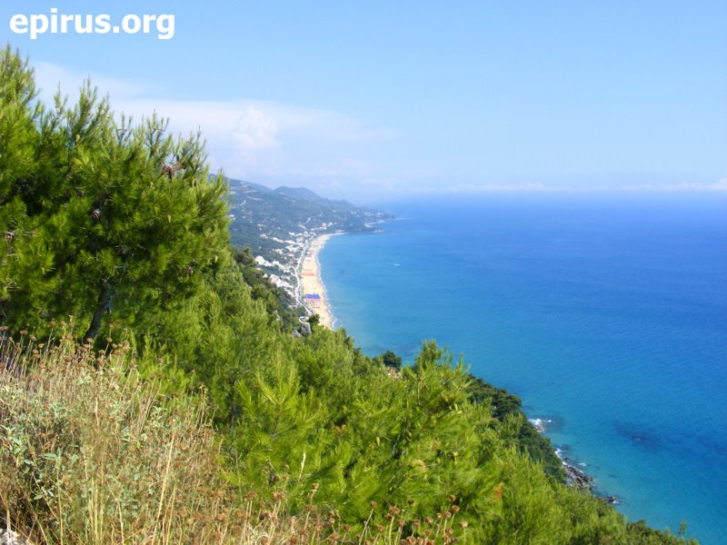
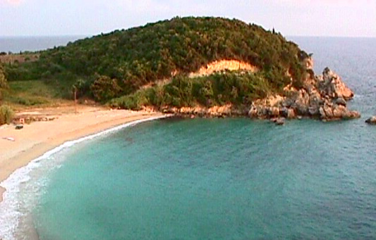 Sarakiniko beach
In the prefecture of Preveza you can enjoy swimming in many beautiful beaches. Many of them are fully organised.
The most important of them are:
- Kyani Akti
- Pantokrator
- Alonaki
- Kalamitsi
- Mytikas
- Monolithi
- Kanali
- Kastrosykia
- Lygia
- Vrachos – Loutsa
- Ammoudia
- Ai Giannakis
- Lichnos
- Valtos
- Sarakiniko
Swimming at the prefecture of Arta
The prefecture of Arta has many beautyiful beaches where you can enjoy swimming or other sea activities. The beaches are at a small distance from the city of Arta and easily accessible by car or local transportation.
- In Menidi, at a distance of 20 km. from the city of Arta, at a nice sandy beach. There is transportation at a regular base from Arta.
- In the beach of Koronisia, which is located very close to the city of Arta.
- At Arachthos river and Aspropotamos river
- At the artificial lake of Pournari
Sailing at the prefecture of Thesprotia
The seaside regions of the prefecture of Thesprotia are offered for doing sailing. You can use the port of Igoumenitsa, as a base for your sail trips where you can supply with oil and water.
From this place you can visit Corfu, Paxos, Lefkada and the nearby ports, such as one of Plataria, of Syvota, of Parga and Preveza. You can also enjoy the unique beaches of Epirus and the nearby island of Ionian Sea. At the port ofIgoumenitsa there are available sailing boats for rental (yacht).
Horse riding at the region of Metsovo
| <! – 1η φωτό -> <! – 2η φωτό -> |
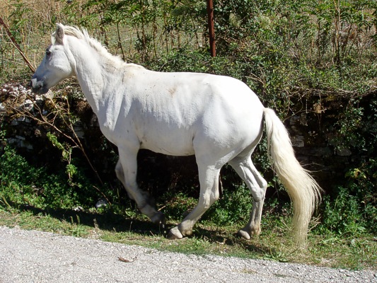
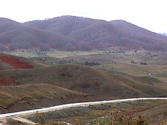
At the plateau of Politses, which is located neat to the ski centre of Prophet Elias and at a small distance from Metsovo, you will find trained horses for riding and experienced riders who will guide you at your firts steps.
There you will enjoy beautiful rides into a sub-alpine landscape, but also and the amazing view in the region. There are also very good routes from Metsovo to the artificial lake of Aoos (15 km.) and the village of Milia (25 km.)
Sports in Pamvotida Lake
| <! – 1η φωτό -> <! – 2η φωτό -> |
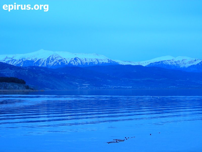
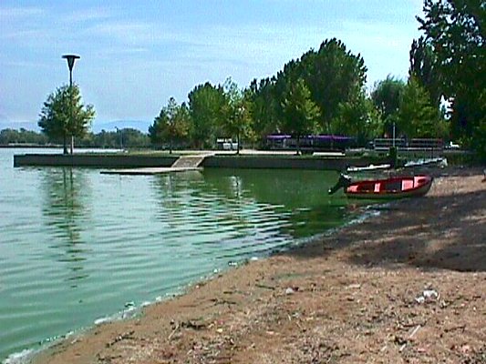
Pamvotida lake in Ioannina is ideal for sea ski because most of the time the winds in the region are favorable and the space that the ships move is limited at the area of the lake. So, you can enjoy your favourite sports doing long routes into the lake.
Related bodies:
Sea Ski Club of Ioannina
3 Acheronta st. KEKOP
45500 IOANNINA
Τel. +30 26510.71581
Rowing, Kanoe, Kayak
Pamvotida lake offers the idealest conditions for these sports. There are water sports facilities at Limnopoula, at the stadium of Ioannina Athletical Centre, 24 28th Merarchia st.
Body:
Ioannina Sailing Club
Τel. +30 26510.25265 and +30 26510.38060
Activities of adventure in Arachthos river
| <! – 1η φωτό -> |
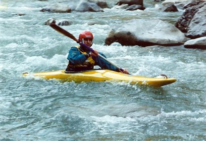
The river Arachthos is one of the most famous destinations for those who love rafting and kayak. At the region of Agnanta the riverflow is very strong and offer ideal conditions for this kind of activities.
The route is Plaka’s bridge – Skoupa (distance 12 km. with a very hard part of third grade difficulty) and the best season for this is spring when the water is deeper, beacuse of the snow that melts on the mountains of Tzoumerka.
See more: The river Arachthos
Activities in Acheloos river
| <! – 1η φωτό -> |
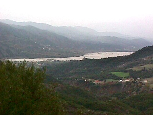
You can enjoy many activities of adventure in Acheloos river. The route is: Mesopyrgos – Vourviana bridge – (distance 10 km.)
Fishing at the region of Pogoni
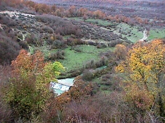
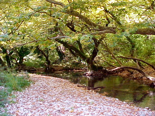
Fishing at Ioannina city
| <! – 1η φωτό -> |
At the region Ioannina city, you can do fishing at Pamvotida lake. The lake is rich of beauty and fish, so reasonably is place of attract for those who do fishing as a hobby. So, during the day you will see along the lakeside region many amateur fishermen.
A trip to Pamvotida lake
| <! – 1η φωτό -> |
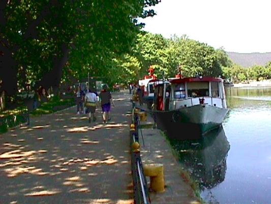
The famous by songs lake of Ioannina, Pamvotida lake, enchants every traveller with her beauty. You can enjoy it by walking at the pier around the east side of the castle and the lakeside zone of the city. At this area of the city there many places of entertainment, bars and cafes where you can enjoy your drink or coffee.
It is also necessary a visit to the island of Pamvotida lake (the only one lake island of Europe with habitants). Boats do ferries from and to the Island.
Another one good suggestion for trip, is a trip around the lake by car. The route is a good way to see the whole lake, but also visit the villages around the lake and other interesting sights, such as the Cave of Kastritsa and the Monastery of Dourachani in Drampatova. In the region of Drampatova you can also find many restaurants and taverns where you will have the chance to enjoy local plates and plates of Greek cuisine.
See also: “Sports in Pamvotida lake“
A trip to Kalamas river
| <! – 1η φωτό -> <! – 2η φωτό ->
<! – 3η φωτό -> |
Kalamas river flows near the village Ragio at the northwest of the prefecture of Thesprotia, between Mavronoros and the hill of Mastilitsa. A dirt road leada to the river delta, and from there you can continue by walking until the point where the river meets the sea.
A trip to the river delta of Kalamas
The river delta of Kalamas is a shelter for many different species of birds, but also for herds of wild horses. At the banks of the river grow many plane trees. The majority of the little islands that are formed at this place have been covered by the deposits of the river. Another way to observe the thousands of birds that nest at the delta river is by boat from Sagiada.
A trip to the narrow gorge of Kalamas
The access to the region is possible from many places, with starting point either Ioannina, or Igoumenitsa, or Filiates. At the beggining and the end of the gorge, you can see the citadels of Osdina and Raveni, standing on bulk rocks. During your trip you will see the old watermills, the two citadels with byzantine fortresses and post-Byzantine churches, rare flora and the steep cliff which there is at “Faraggopidima” location.
A route by boat in Acheron river
| <! – 1η φωτό -> <! – 2η φωτό -> |
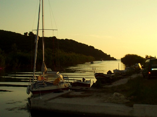
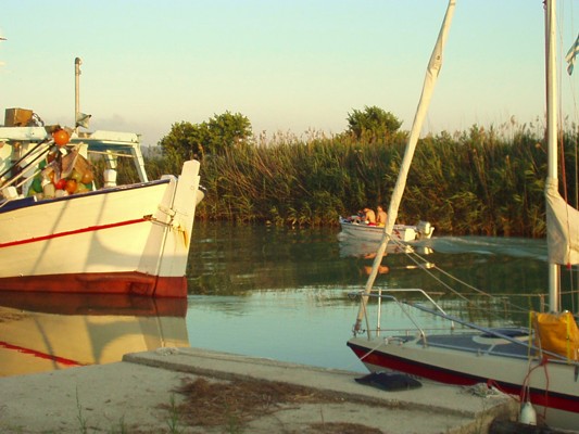
From the cove of Ammoudia where flows Acehron river, you can enoy the natural beauty of the region by boat. The trip to the river is really exciting. Acheron river is navigable till Mesopotamos village.
See more: Acheron river, Ammoudia
Trips in the region of Konitsa
|
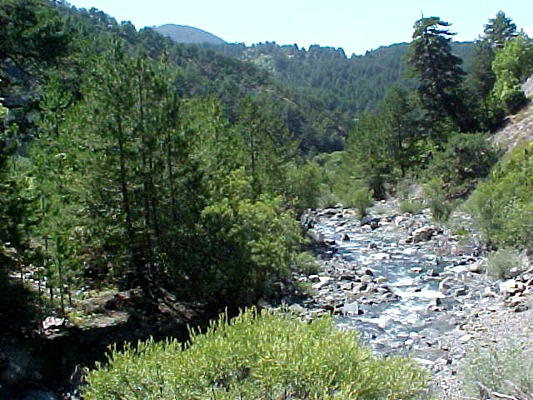
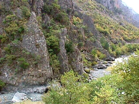
Mountaneering trails in the region of Konitsa
The region of Konitsa, mostly mountainous region is offered for mountaneering trips. We suggest the following:
- Palioseli – Mountain lodge on Smolikas – Drakolimni of Smolikas
- Agia Paraskevi – Drakolimni of Smolikas
- Distrato – Samarina
Climbing on Mount Smolikas
At an altitude of 2.637 m. Mount Smolikas is one of the most impressive mountains of the north Pindos and the second highest mountain of Greec after Olympus. From Pades or Agia Paraskevi, as starting points you can enjoy an outstanding route. Passing through beautiful pin forests, you will get, after 5 hours walking, to the famous “Drakolimni” of Smolikas at an altitude of 2.150 m.
A trip to the gorge of river Aoos
From the stone bridge of Aoos, a miracle of architecture of builders from Pyrsogianni (1870), starts a marked path along the river Aoos with direction to the gorge. The gorge extends between steep slopes, but there are also and places where the tourists can have a cool swimming.The exceptional ecosystem of the river becomes a shelter for many kinds of animals and birds, such as wolves, wild boars, deer, otters, woodpeckers, squirrels and kinds of eagles, etc.
During the trip the visitor will see the beautiful waterfall of Gravos, which is located near to the Monastery of Stomiou (1774). The view to the gorge from the monastery is outstanding. The path for those who want to continue the trip to the “Passage of Karteros”, ends up in a beautiful plateau and then goes down to the village of Zagori, Skamneli (lasts about 3 hours more). Moreover, from the plac “Desi”, at a distance of half an hour from the monastery you can continue the route to Drakolimni if you wish.
Trips and activities in Katsanochoria – Tzoumerka
| <! – 1η φωτό -> <! – 2η φωτό -> <! – 3η φωτό -> |
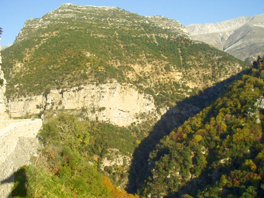
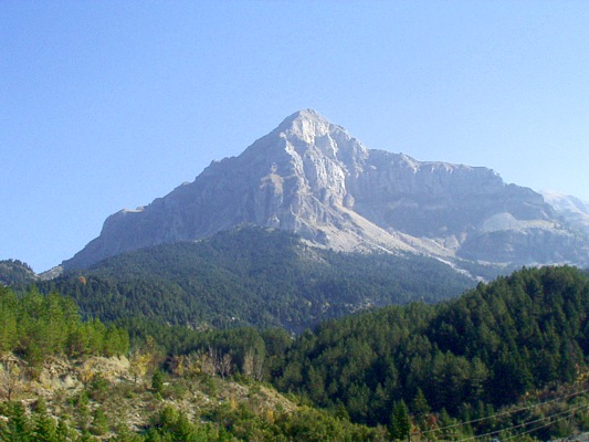
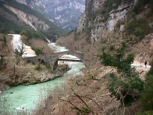
The region of Tzoumerka offers unique mountaineering and hiking trails, but also many other activities.
We suggest the following trails and activities:
- Mountaneering trail Matsouki – Vyliza – Kalarrytes (2 hours)
- Mountaneering trail Matsouki – Strogoula (2429 m.) – mountain lodge at Isioma location (4 hours, hard)
- Climbing on Karkaditsa top
- Mountaineering path Τ2: pin forest of Markopoulo – Raftanaioi – Monastery of Virgin Mary Mouchousiotisa
- Mountaineering path Τ1: Christoi – Monastery of Kipina – Kalarrytes or Syrrako
- Hiking trail at the gorge of Arachthos Chrousia (old mills)
- Hiking trail: Pramanta – Strogoula – Monastery of St. Paraskevi – Cave of Pramanta (2 hours)
- Horse riding at Ippostrouth farm [www.ippostrouth.com]
- Rafting – kayak in Kalarrytikos river (Gkogkos bridge – Politsa bridge)
- Rafting – kayak in Arachthos river (Plaka bridge – gorge)
See more: Villages in the region of Tzoumerka [part of the prefecture of Ioannina]
Climbing on Mount Gorilas
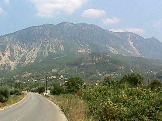
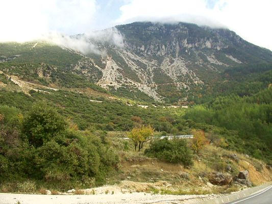
From the village Agia Kyriaki, which is located at a distance of 8 km. from Paramythia, or from Paramythia you can climb on Mount Gorilas by following the marked path and you can also visit the cave of St. Arsenios, in which there is the church of St. Arsenios that feasts in summer.
If you decide to climb on the top (1658 m.), you will be compensated for this difficult climbing lasting 6 hours by the view of the whole town of Paramythia and the plain.
Fishing at the prefecture of Arta
| <! – 1η φωτό -> |
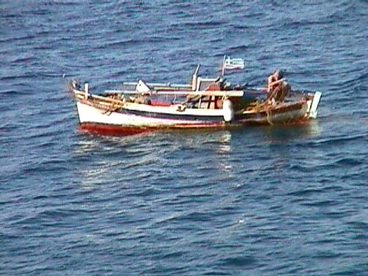
In the prefecture of Arta you can go fishing at thee rivers of the prefecture, the beaches and the artificial lake of Pournari.
A trip to Arachthos estuary
| <! – 1η φωτό -> <! – 2η φωτό -> |
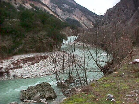
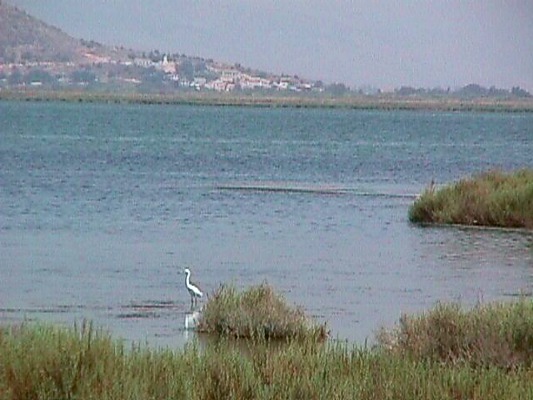
The route to Arachthos estuary done by a little boat from Neochoraki to the estuary of Arachthos – Logaros – Tsoukalio and Rodia where is the pelicans’ shelter.
See more: Arachthos river
A trip to Tsopeli lagoon
| <! – 1η φωτό -> |
The lagoon of Tsopeli is located at Amvrakikos bay and it is at a distance of about 11 km. the city of Preveza. The rich avifauna of the area has a big interest and the naturalists can admire it either by the appropriate observatories which are around the lagoon or by walking on the narrow strip of land which separates it from Amvrakikos bay.
This strip of land is also the biggest beach with shells in Preveza with thousands kinds of shells. In sping many species of birds, such as pelicans or gulls, nest on the small islets of the lagoon.
On the north of the lagoon ends up Louros river. This River Delta is an important ecosystem of this region.
A trip to Acheron river
| <! – 1η φωτό -> <! – 2η φωτό -> <! – 3η φωτό -> |
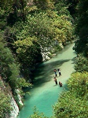
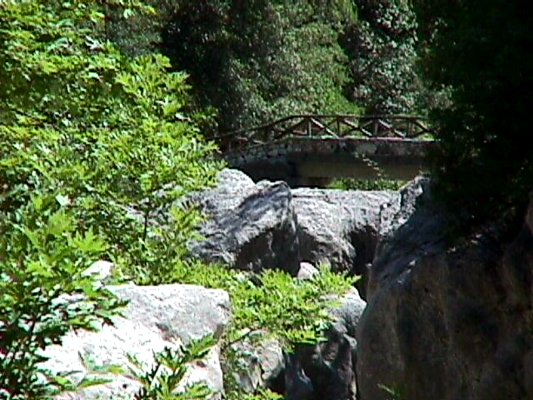
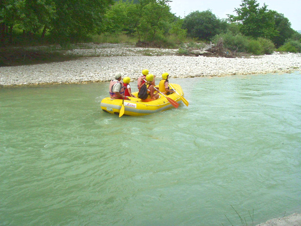
Acheron river is located at the prefercture of Thesprotia. Its springs are on the mountains of Souli and ends up in Ionian Sea. Acheron river and the areas around it are an important ecosystem recognised and protected by Natura 2000. In this region of exceptional beauty you can enjoy walkings, sports, trips and excursions. In Acheron river you can also do many activities like rafting, etc.
The springs of the river are located at Glyki village on the margins of the prefectures of Thesrotia and Preveza. For thoese who can stand its cold water, they can enter the river from its springs as it is shallow in many parts. Going up against the river stream you can pass under the bridge of Dala where the stream Dala meets Acheron.
Along the route, there is “Tzavelaina Stairs“, the famous path that was used by the residents of Souli during the Ottoman period. You can continue till the springs of stream Dala, where there is an old restored watermill, or follow the road to “The Gates of Hades” directed to Serziana, a point where the canyon is very narrow.
In the past the rocks were united on the top, giving the image of a tremendous gate, “The Gate of Hades“. You can find many points of the river where the water flows slowly and offered for swimming.
A visit to Salaora
In Salaora there is a research centre and information. It is located at a distance of 22 km. from the crossroad of Kostakioi – Koronisia. The tour at the centre lasts about 1 – 2 hours with a direct display of the birds of the wetland.
Sightseeing tour at the Centre of Information and the lighthouse of Kopraina
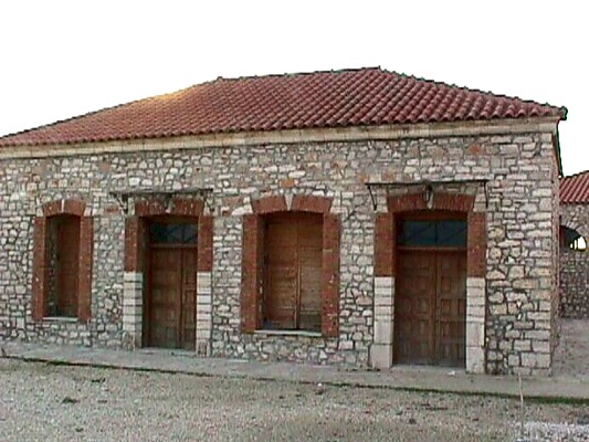
Kopraina is located at a distance of 10 km. from the crossroads of Sykees. You can do a sightseeing tour at the Museum of Natural History, at the aquarium. The tour lasts about 2 – 3 hours. In the museum there is also a library with many books offered. There is also a guesthouse available. In addition you can do a sightseeing tour at the lighthouse of Kopraina, at a distance of 1 km. from Kopraina, where there is a museum of lighthouses and natural history. The tour lasts about 1 – 2 hours.
Trekking in the forest of Lekatsa
In the prefecture of Preveza you can do trekking in many regions of outstanding natural beauty. One of them is the forest of Lekatsa, close to Myrsini village. It is a forest of rare fauna and flora and a natural animal shelter. There is a path in forest for the visitors, which encircles the forest and other kinds of joy. The Monastery of Lekatsa is located very close to it.
Events in the city of Arta
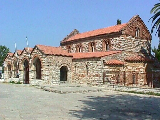
In Arta every year take place many events:
- 11th March, feast of St. Theodora: religious events, litany of the icon and the relics of the patron saint St. Theodora
- Last Sunday of June, aniversary for the release of Arta from the Turks on 6/24/1881: National events
- 27th September: Trademarket – Bazaar
Climbing – Trekking at Pogoni
Mount Nemertsika is located at the north of Pogoni, at the borders with Albania. Its altitude is at 2.209 m. and it is one of the highest mountains of the prefecture of Ioannina. It offers ideal conditions for climbing for the experienced climbers through beautiful routes into whole green and virgin forests.
You can admire the outstanding view of Pogoni from Nemertsika, especially from the places of Mpitsikopoulo and Prophet Elias by routes of 3 or 4 hours from Meropi, Kefalovryso or Palaiopyrgos as starting points (there are no marked paths).
The forest of Bouna is located near to Delvinaki and offers beautiful routes as it is famous for its rich flora and fauna and also for Gormos valley, which is located near to it.
Other excursions and routes in the region of Pogoni:
- From Doliana to Lykoskos place (view of Tymfi & Nemertsika)
- Hiking in the forest of Meropi – Palaiopyrgos
- From Agios Kosmas to Roupsia
- From Oraiokastro to Glava springs
- Trekking in Kouvaras valley, a marked path
Events in the region of Agnanta
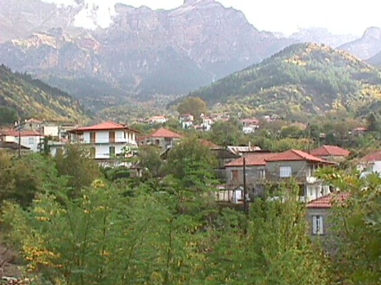
Events in Agnanta
Feast of the Ascenssion: Religious events, traditional feast
20th July, feast of the Prophet Elias: Religious events, traditional feast until the midday
25th – 27th July: Traditional feast, traditional dance and custom “Kagkelari”
Events in Theodoriana
22nd June: Anniversary for the signed deed of the year 1883 reffering to the proprietors of Kostilata
3rd August: Feast of the Vlachs (offered ewe meat) 3rd and 4th August: Anniversary of the battle in “Stavros” place
15th August, feast of the Assumption: Traditional feast
Events in Koukoulia
3rd Easter Day: Traditional feast at the traditional Monastery of St. Nickolas in the region “Selio”.
15th August, feast of the Assumption: Traditional feast
Events in Palaiochori
Friday after Easter: traditional feast at the Monastery of St. Paraskevi
6th August, religious feast: Traditional feast, local custom “Kagkelari”
Events in Melissourgoi
15th August, feast of the Assumption: Traditional feast
Events in Frasta
8th November, feast of St. Taksiarches: Traditional feast and Tsipouro Feast
Events in the region of Athamania – Ksirovouni
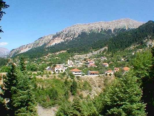
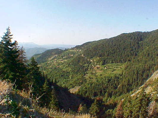
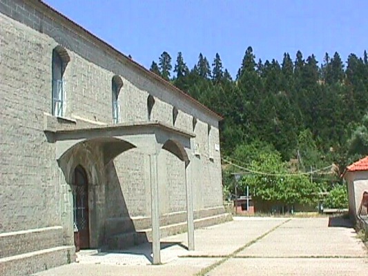
Events in Anemorachi
6th December, feast of St. Nickolas: Traditional feast
Feast of St. George: Traditional feast
Events in Vourgareli (Drosopigi)
5th May: Events for General Zervas and for the bombardment by the Germans (5/5/1943).
20th July, feast of the Prophet Elias: Traditional feast
8th September: Traditional feast in Kokkini Ekklisia
Events in Distrato
Pentecost: Traditional feast
Feast of St. Faneromeni: Traditional feast
Events in Kato Athamanio
10th February, feast of St. Charalampos: Traditional feast
Feast of St. George: Traditional feast
Feast of Holy Trinity: Traditional feast
24th Augsust Feast of St. Kosmas: Traditional feast
21st May Feast of St. Constantine and Helen: Traditional feast
Events in Kato Kalentini
6th July, feast of St. Kiriaki: Traditional feast
Events in Kapsala
24th July, feast of St. Kosmas: Traditional feast
26th July, feast of St. Paraskevi: Traditional feast
Events in Kentriko
30th June, feast of the St. Apostles: Traditional feast
20th July, feast of the Prophet Elias: Traditional feast
26th July, feast of St. Paraskevi: Traditional feast
Events in Kypseli
24th Augsust Feast of St. Kosmas: Traditional feast
26th July, feast of St. Panteleimon: Traditional feast
Feast of Holy Trinity: Traditional feast
Events in Mesounta
15th August, feast of the Assumption: Traditional feast
Events in Palaiokatouno
6th August, religious feast: Traditional feast
15th August, feast of the Assumption: Traditional feast
Events in Rodavgi
1st May: Traditional feast
26th – 27th July, feast of St. Paraskevi: Traditional feast, traditional dance “kagkelari”
Events in Skiadades
15th August, feast of the Assumption: Traditional feast
Events in Tetrakomo
29th June, feast of the St. Apostles: Traditional feast
15th August, feast of the Assumption: Traditional feast
Events in the region of Amvrakikos
| <! – 1η φωτό -> <! – 2η φωτό -> |
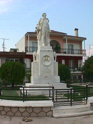
Events in Kommeno
16th August, anniversary of the holocaust of Kommeno by the Germans on 16th August in 1943, during the 2nd World War
Events in Foteino
15th August, feast of the Assumption: Traditional feast
1st Sunday of March: Tributes to the memory of the executed during the Second World War
Events in Kompoti
Carnival: Carnival events
29th – 31st July: “Skoufaika”, a tribute to the memory of Nikolaos Skoufas.
Events in Koronisia
12th June: Religious events in the Monastery of St. Onoufrios
8th September: Religious events in the chrurch of Birth of Virgin Mary, traditional feast
Events in the region of Ano Kalentini – Diaselo
Every year during the months July and August in the villages of the region Diaselo – Ano Kalentini, take place traditional feasts and events.
Events in the region of Tetrafyllia
| <! – 1η φωτό -> |
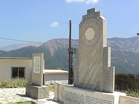
Events in Piges
23rd August: Events as a tribute to the memery of the battles of the residents in Souli, who were executed in the Monastery of Seltso 4/23/1804.
Events in Kasianos
28th February: Traditional feast
Διαφημίσεις



 Ειδήσεις & Νέα από την Ήπειρο
- Ιός του Δυτικού Νείλου: Τι είναι, πώς μεταδίδεται και ποιοι χρειάζεται να προσέχουν περισσότερο
- Καύσωνας με 40άρια και σήμερα: Πότε υποχωρεί η ζέστη και πότε επιστρέφει
- Γιάννενα: Έκτακτο Δελτίο Υψηλού Κινδύνου Εκδήλωσης Πυρκαγιάς αύριο Κυριακή 23/8 – Απαγορεύσεις Κυκλοφορίας
- 42χρονος άνδρας βρέθηκε νεκρός στο σπίτι του στο Ροδοτόπι Ιωαννίνων
- Διαμαρτύρεται για την κατάσταση στην Εγνατία οδό ο Δήμος Ιωαννιτών
- ΛΑ.ΣΥ.: “Τελειωμό δεν έχει η κοροϊδία σε βάρος των αγροτών της Λαψίστας από τη Δημοτική Αρχή Μπέγκα”
- Ξεκινούν τη Δευτέρα οι αιτήσεις για το νέο επιδοτούμενο πρόγραμμα κατάρτισης ανέργων στη μελισσοκομία
- Ηγουμενίτσα: Αλλοδαπός έκλεψε αυτοκίνητο από πρατήριο – Το βρήκαν στη Βόλβη
Το epirusnet.eu στο Facebook